Cycling Russell Island
Discover Russell Island by bicycle, with a selection of rides ranging from relaxed island exploring to longer cycling adventures.
You may want to set off on your own adventures or have some where specific to go but if not, we have put together a couple of suggestions as a basic guide to what the island has to offer.
Each route provides practical information to help you choose a ride that suits your time, bike and experience.
Stay safe and enjoy your time on Russell Island
on
Two Wheels
Canaipa Point & Yacht Club
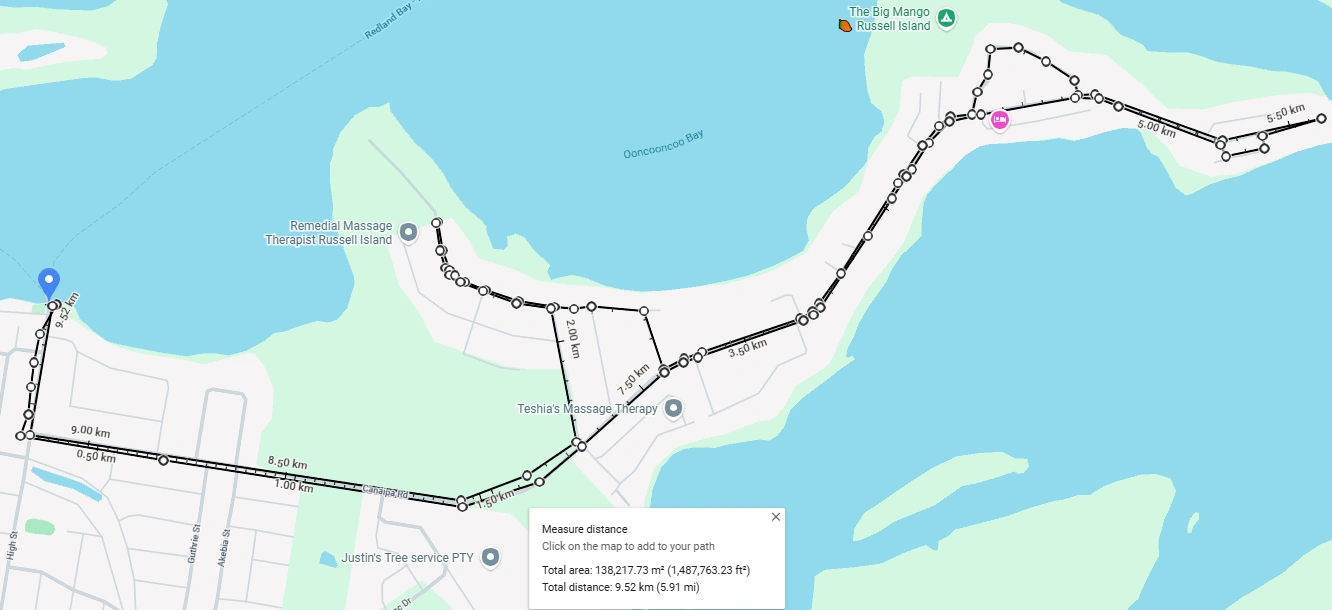
9.52 km return · Easy
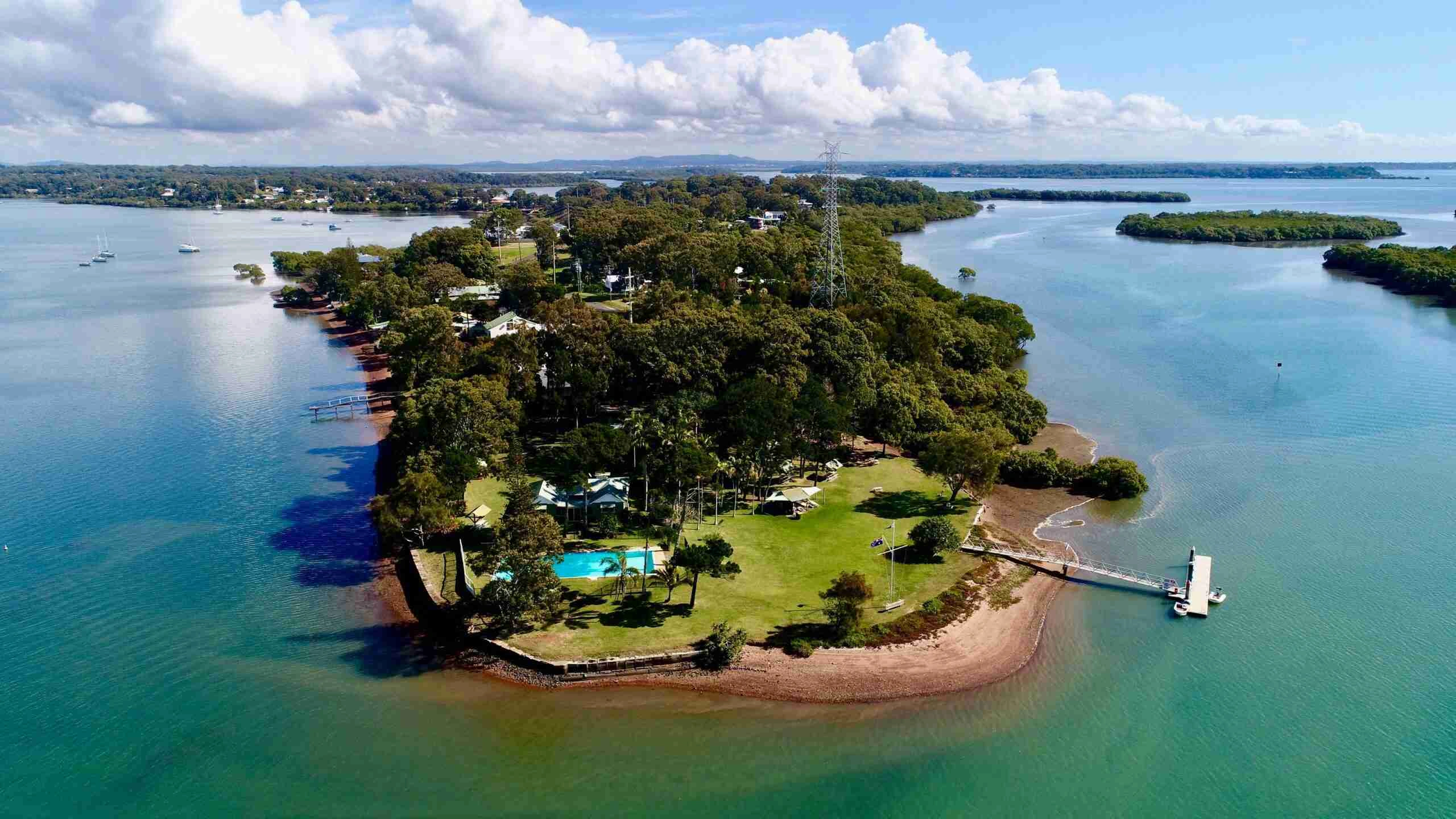
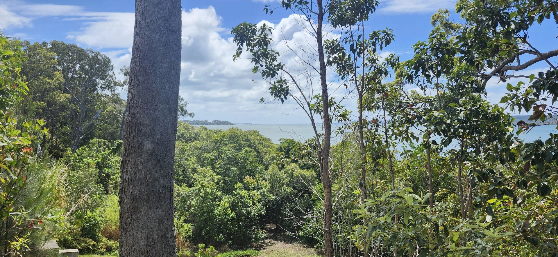
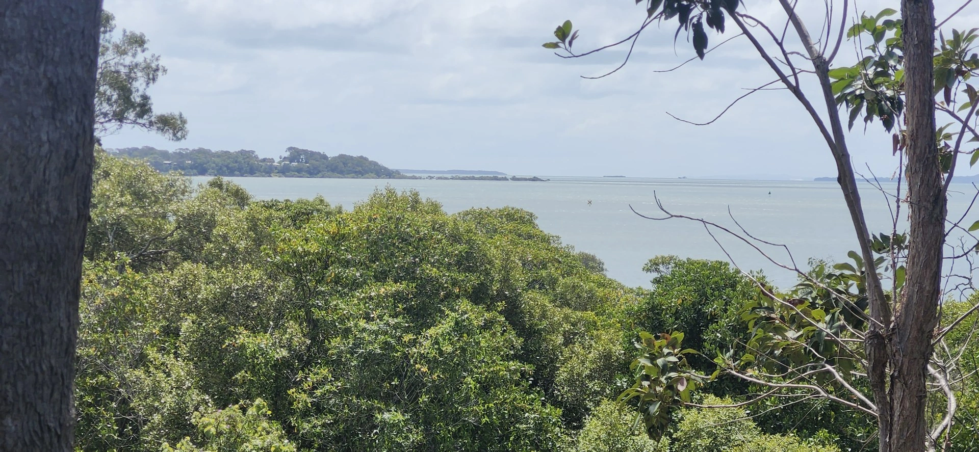
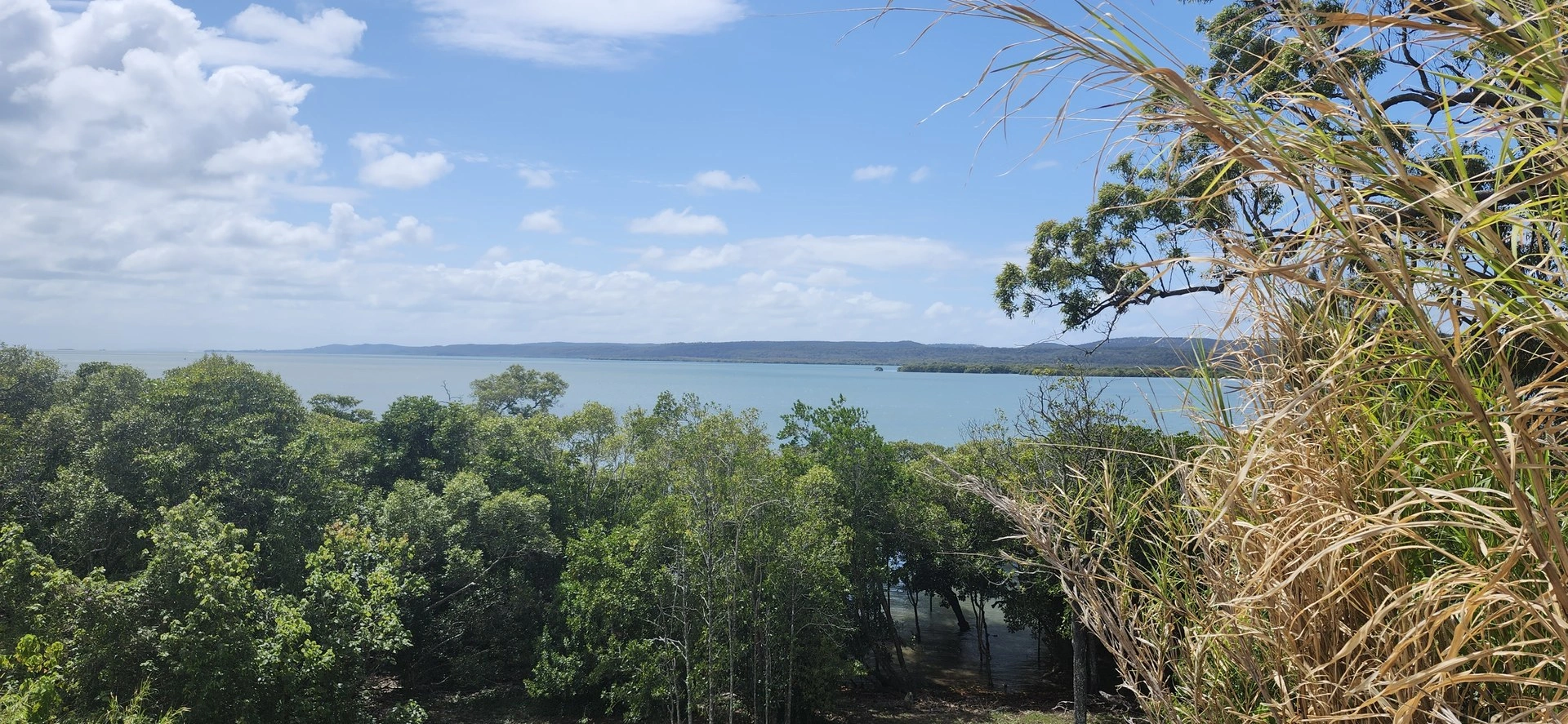
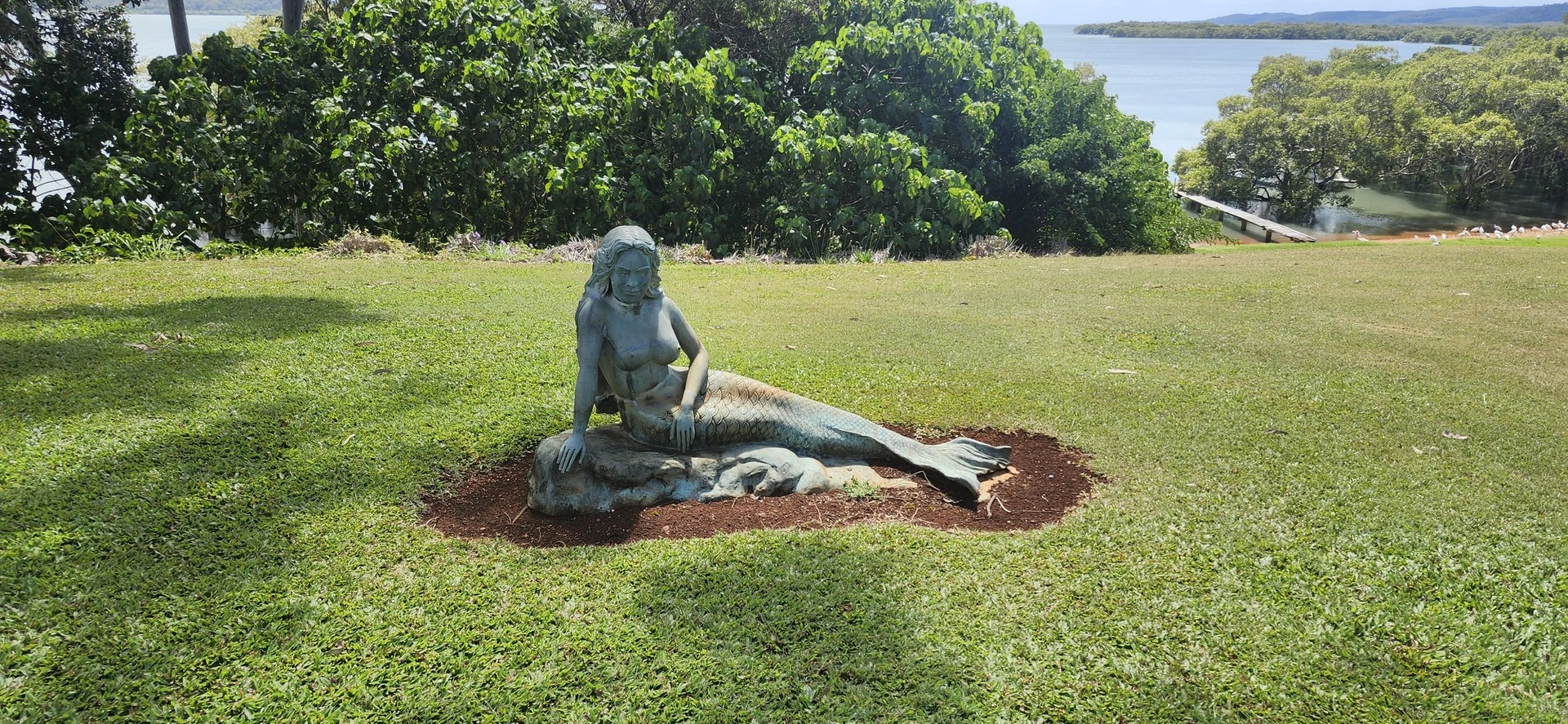
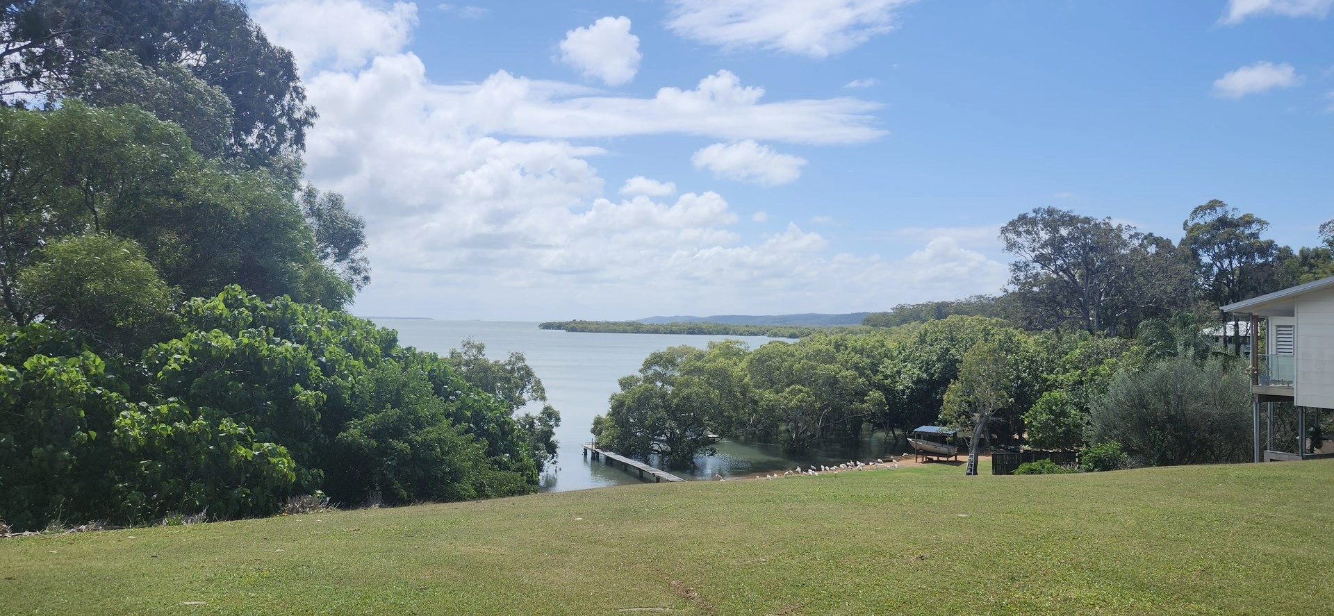
A relaxed ride along good pathways and sealed roads, with beautiful views across the surrounding waterways and islands. Optional scenic extensions add views towards Brisbane, Macleay Island, Lamb Island and Stradbroke Island.
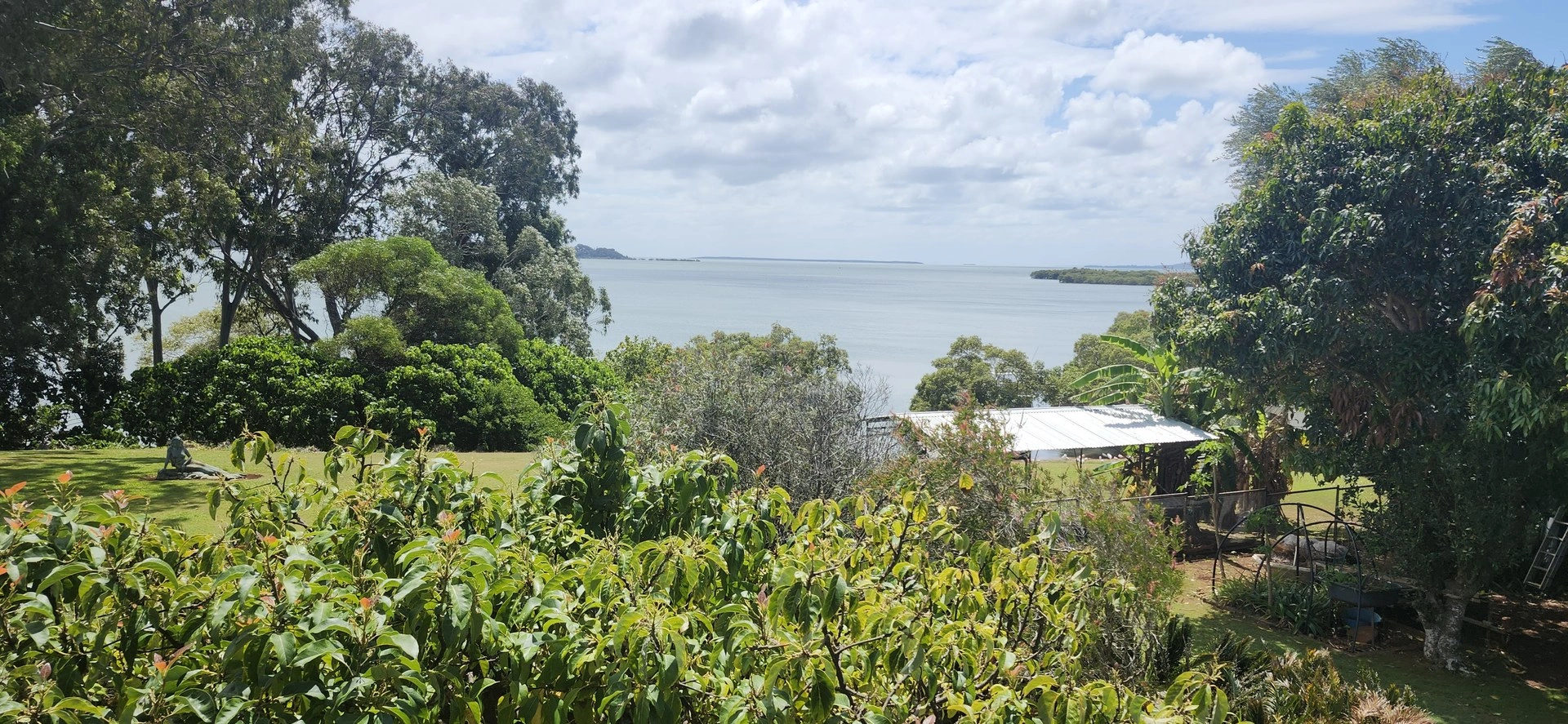
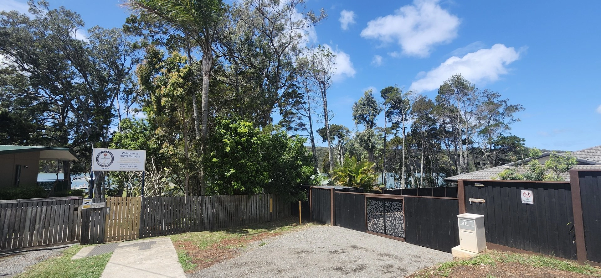
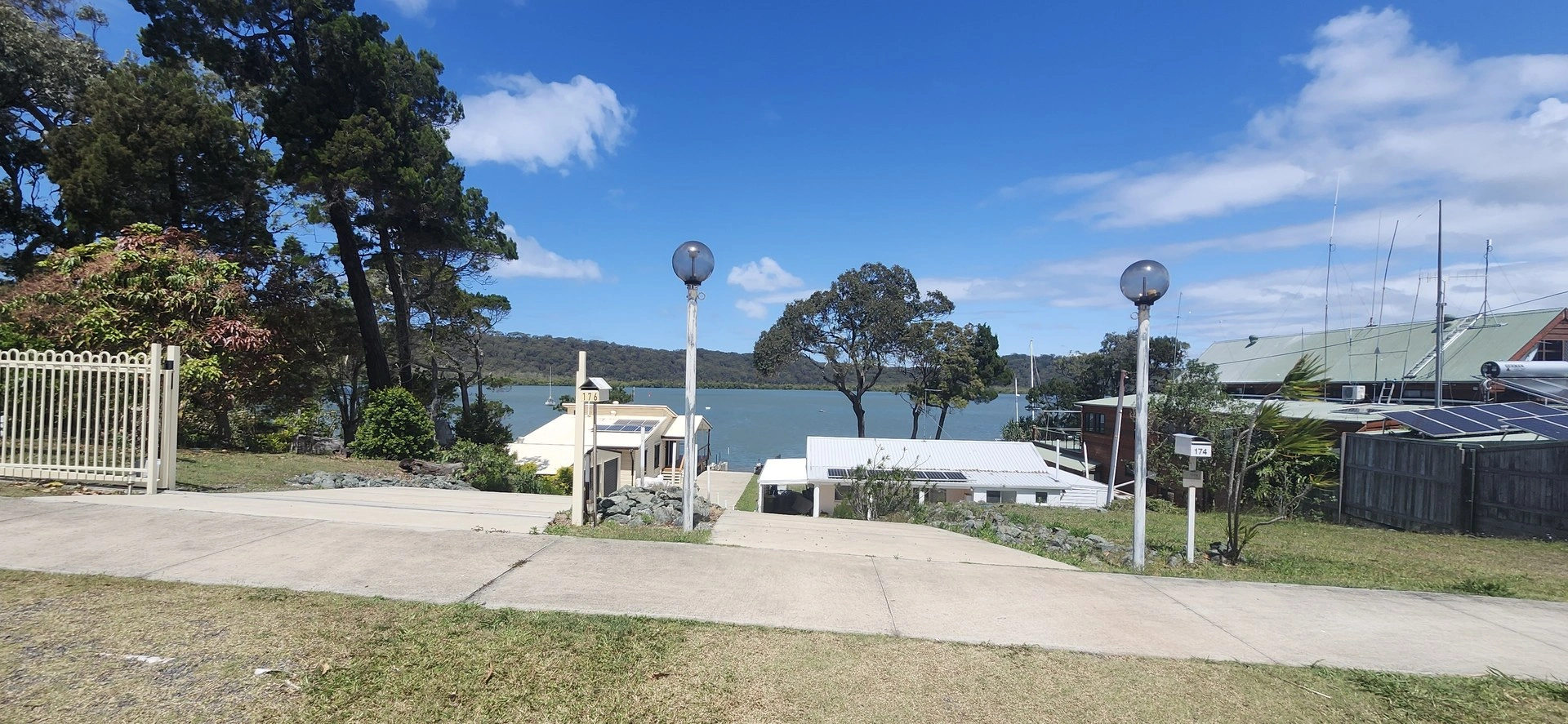
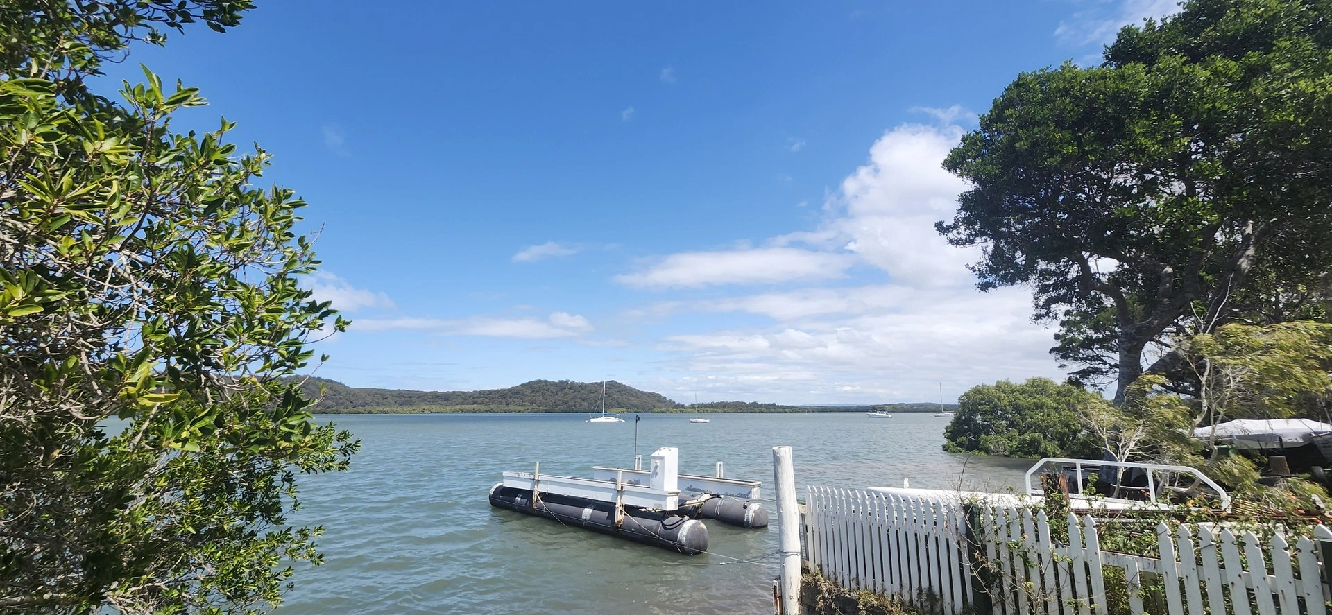
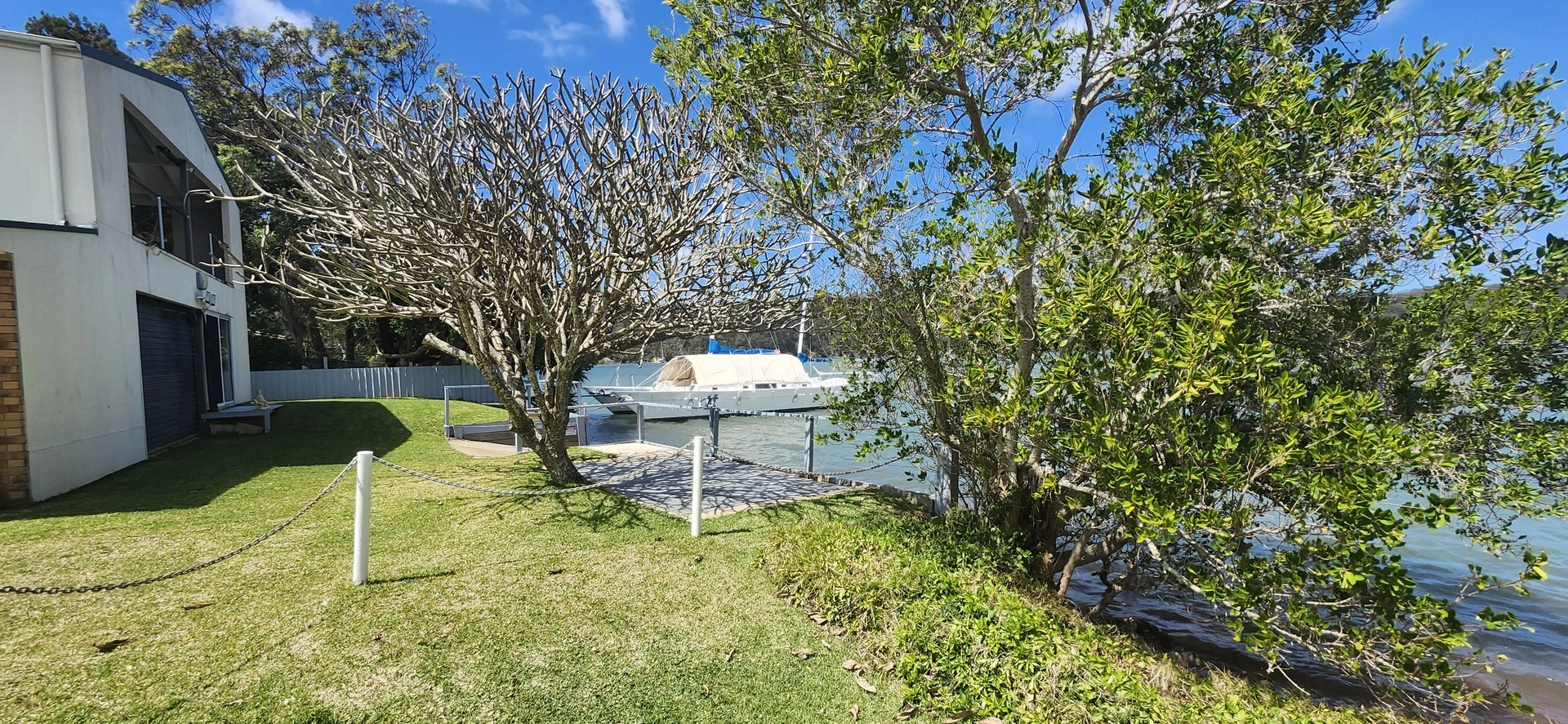
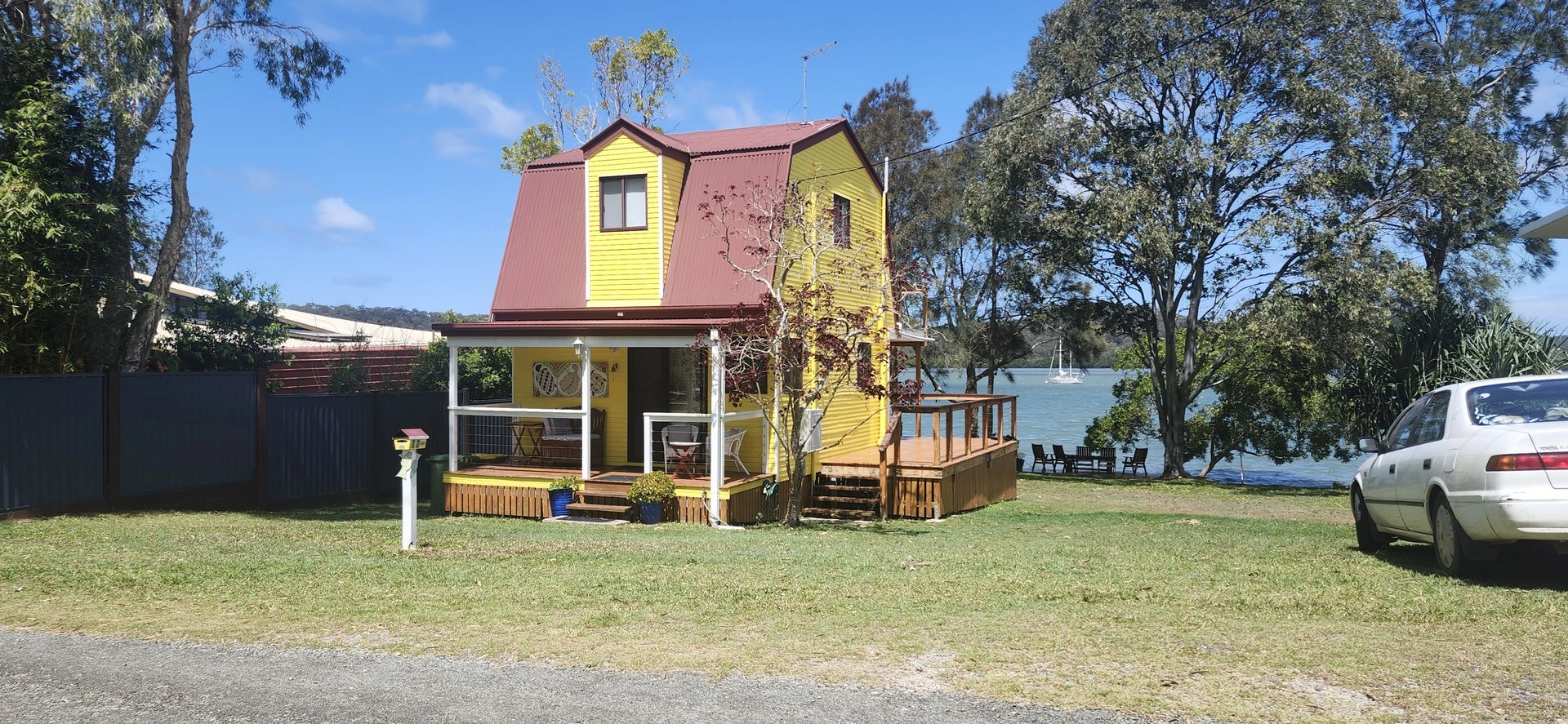
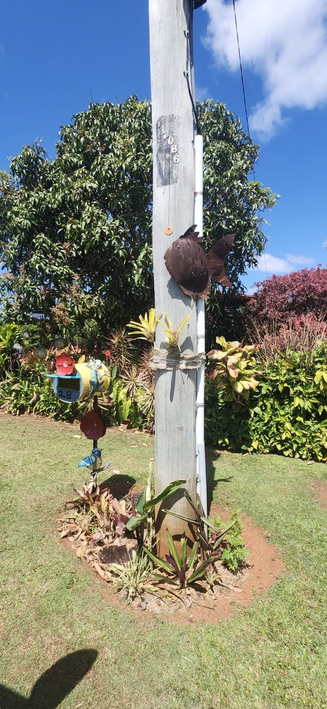
Canaipa Point & Yacht Club
9.52 km return: 🟢 Easy
Riding time: Approximately 40–50 minutes riding time
Allow: Around 1½–2 hours with stops
Surface: All sealed roads and pathways
Bike: Suitable for adult bicycles, hybrids and e-bikes
A relaxed ride towards Canaipa Point and the Yacht Club, with good cycling pathways and plenty of opportunities to enjoy views across the surrounding waterways and islands.
Route:
Ferry / town precinct → High Street → Canaipa Road → Kamar Street → Bay Drive → turn around
Return via Bay Drive → Michele Street → Canaipa Road → Patterson Drive → Canaipa Point Drive → Yacht Club → turn around
Return via Canaipa Point Drive → Browning Street → Canaipa Point Drive → Canaipa Road → High Street → ferry / town precinct.
Highlights:
⛵ Canaipa Point & Yacht Club 🌊 Views across the surrounding waterways and islands 🏝️ Island and coastal scenery
Riding notes:
The route has some gentle hills but is suitable for casual riders. All roads and pathways are sealed, making this one of the more accessible rides in the guide.
Route Map
Russell Island Explorer
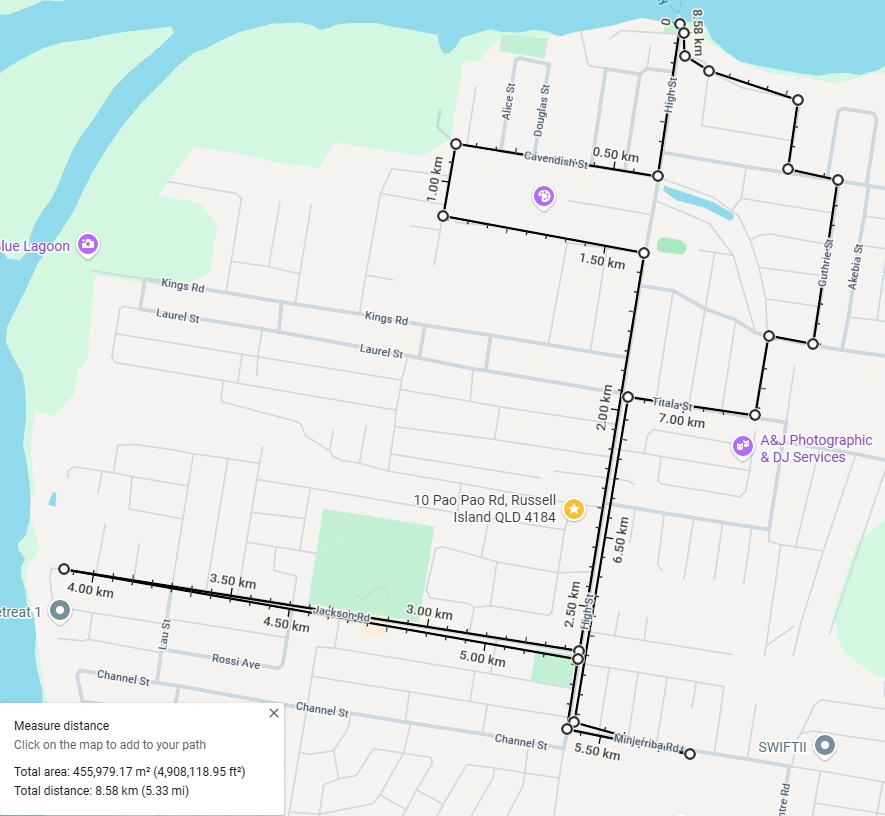
8.58 km return · Moderate
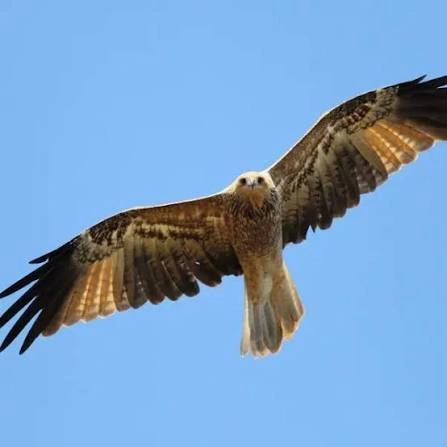
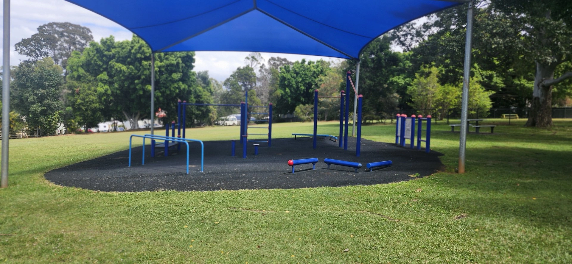
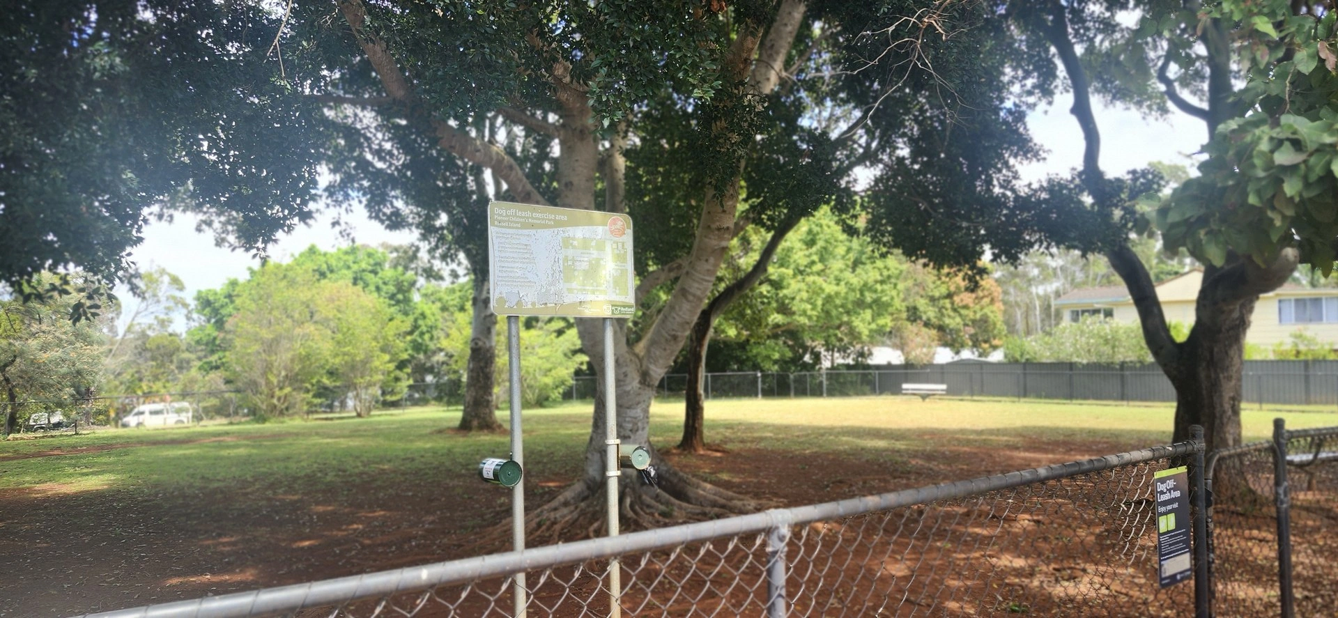
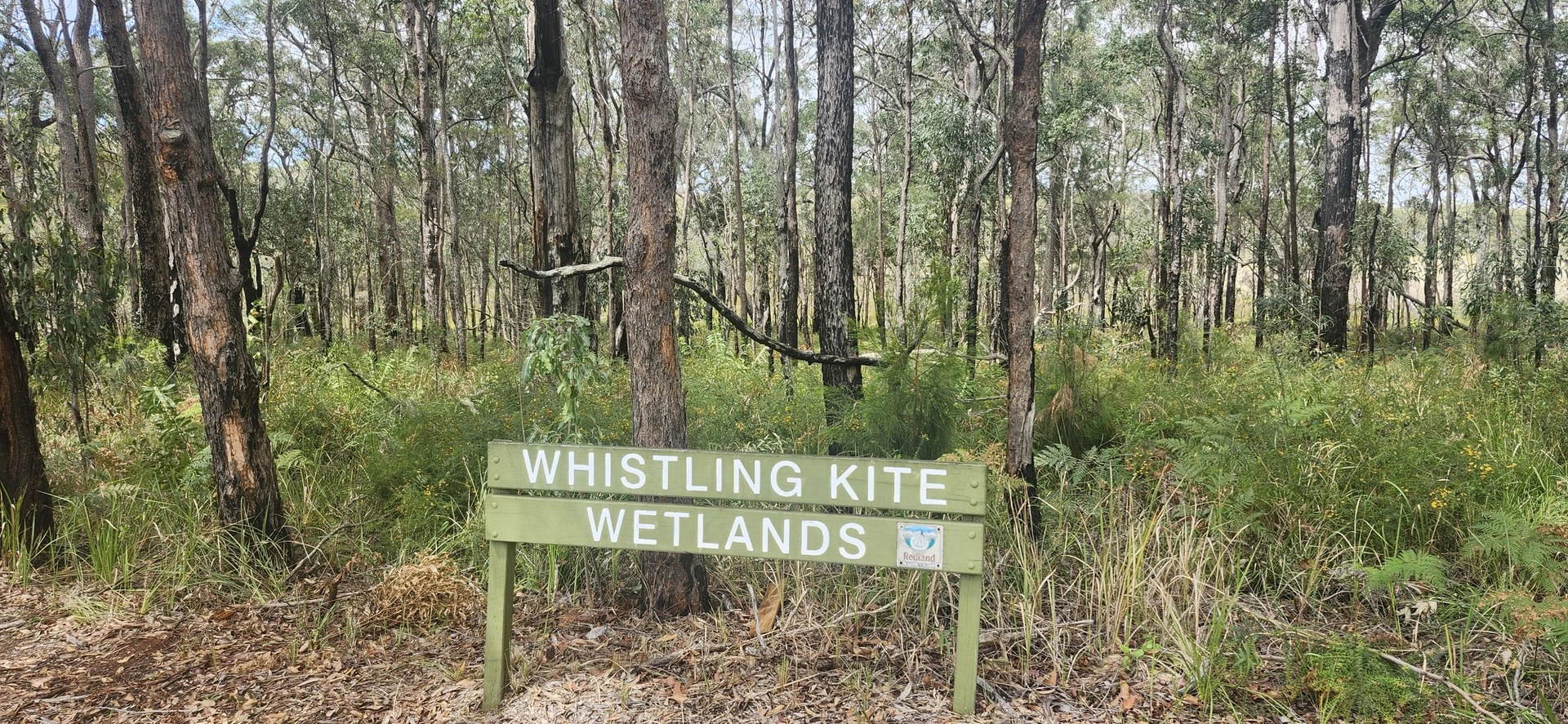
Explore beyond the main township, taking in local recreation areas, community attractions and the Whistling Kite Wetlands. Mostly sealed roads with a short unsealed section through the sporting grounds.
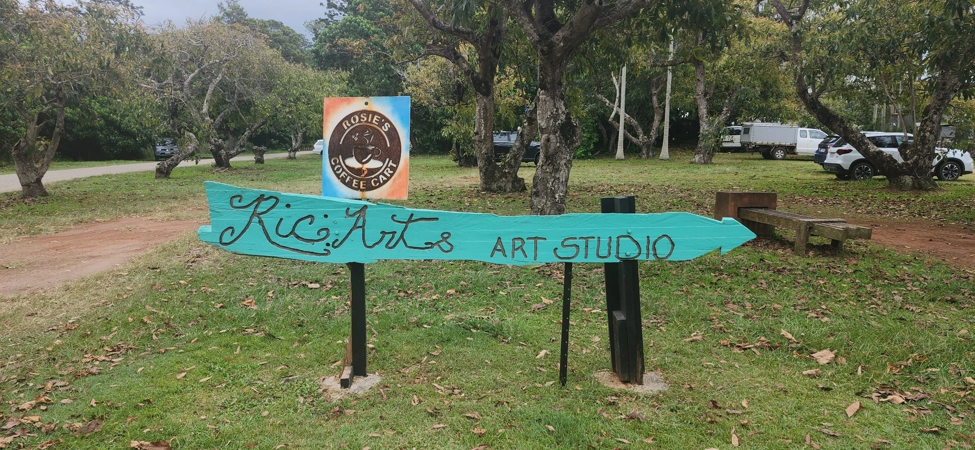
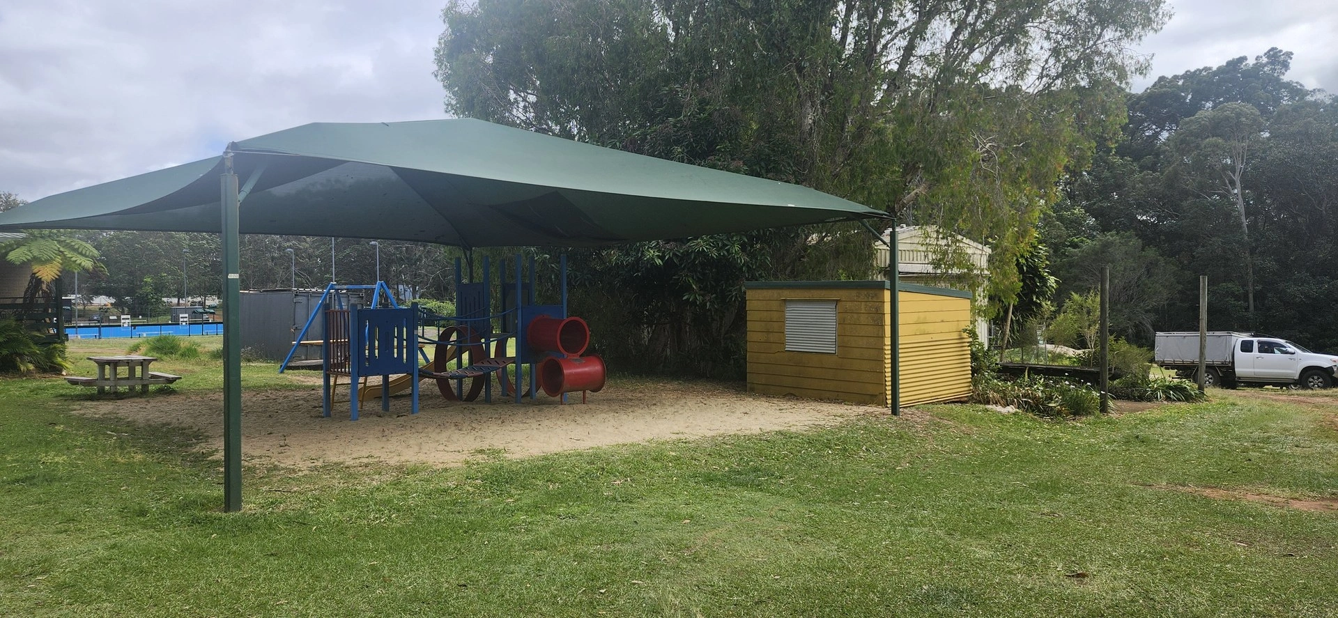
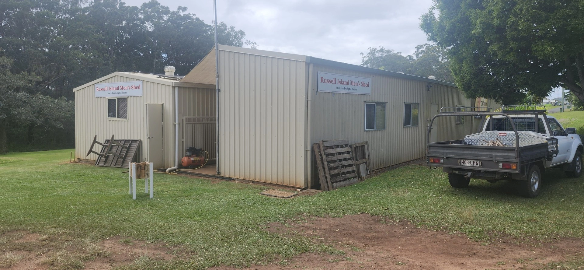
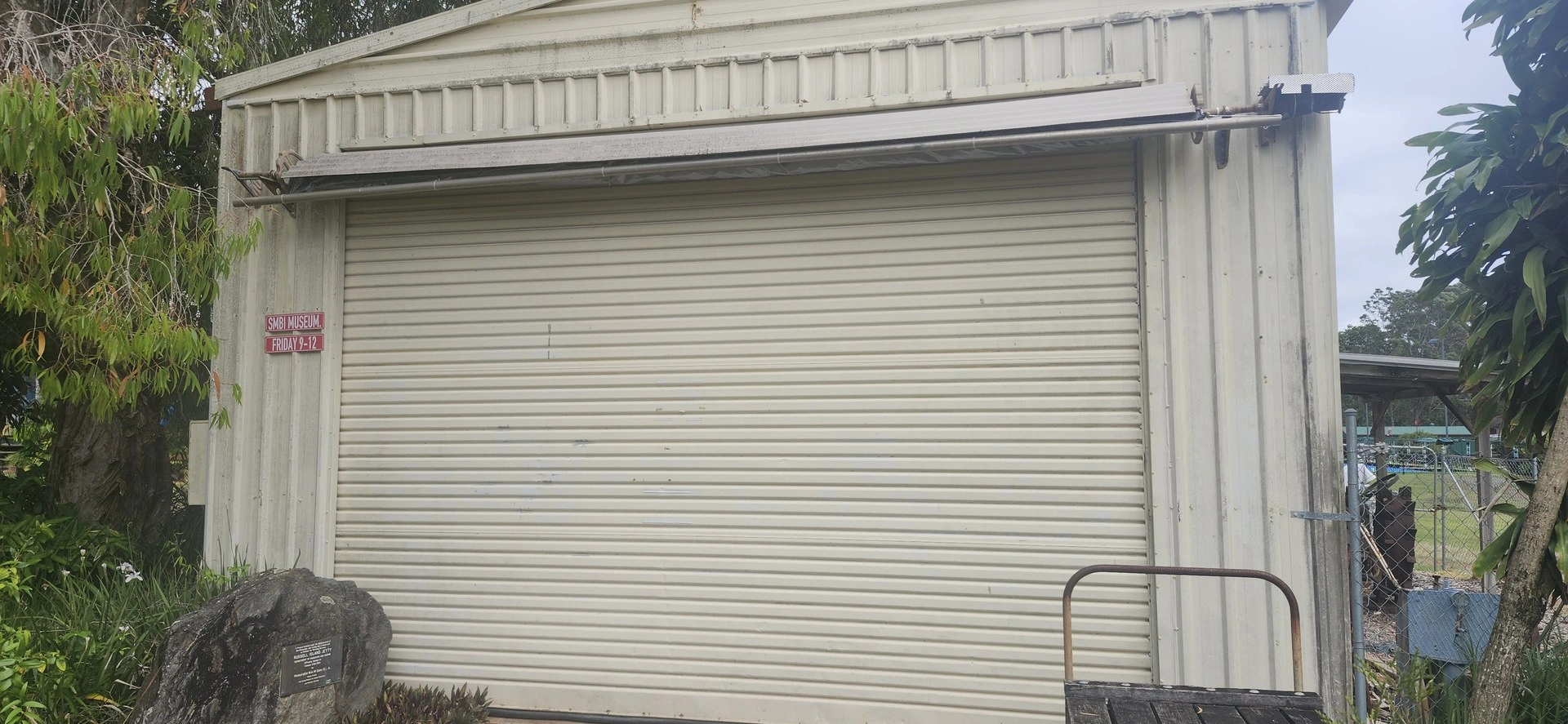
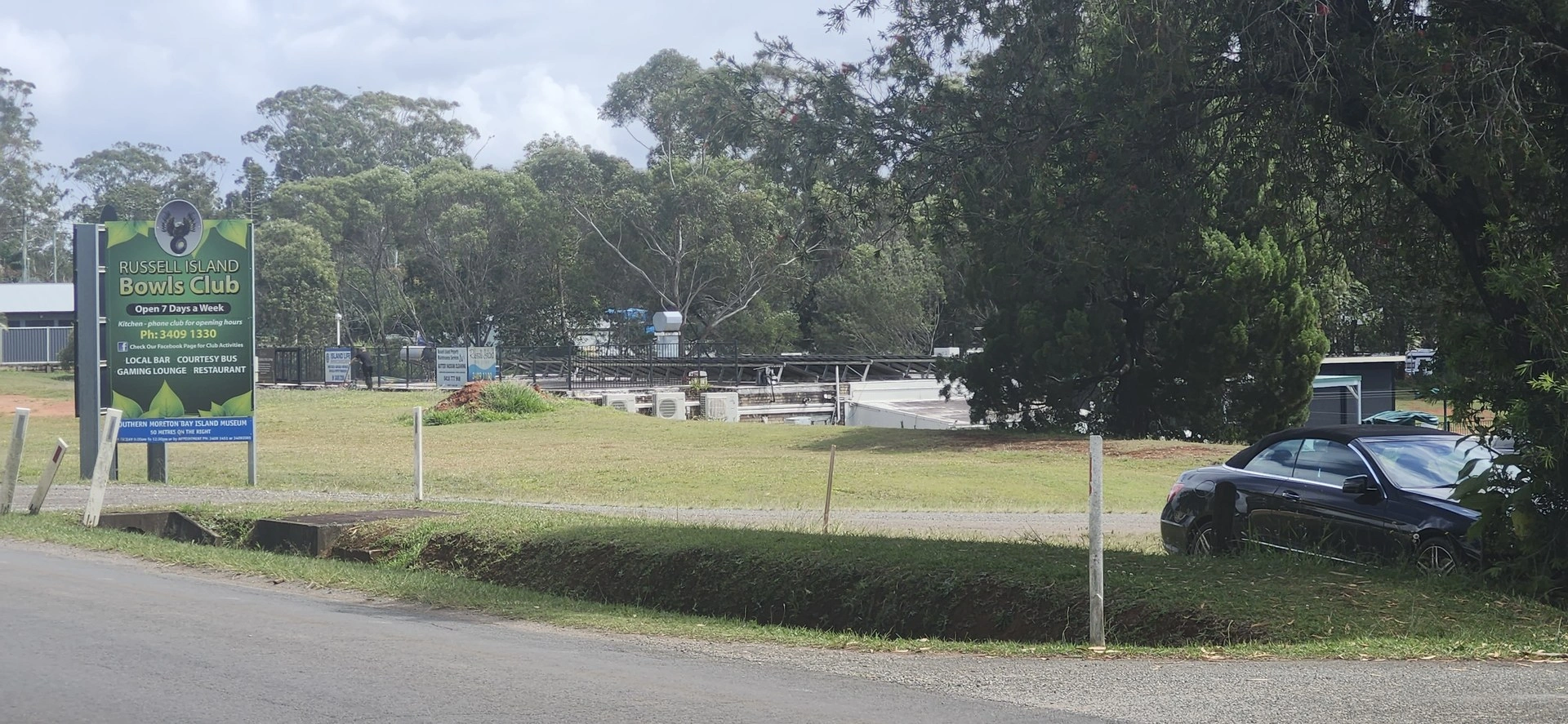
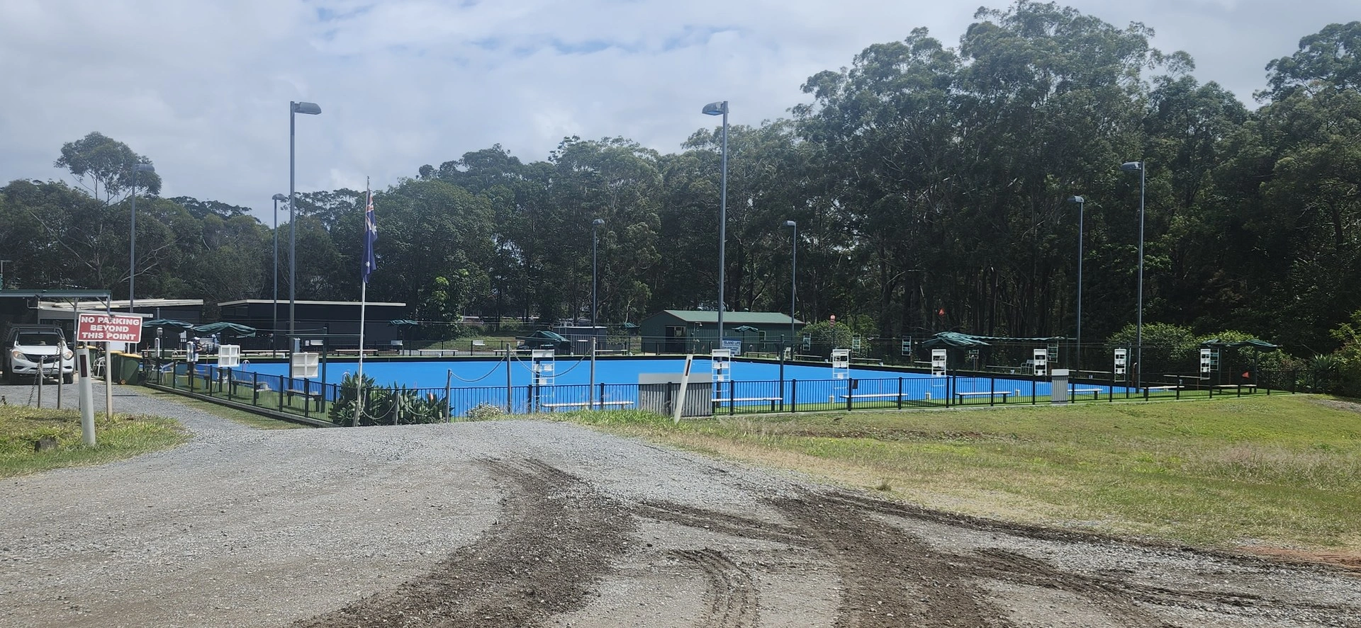
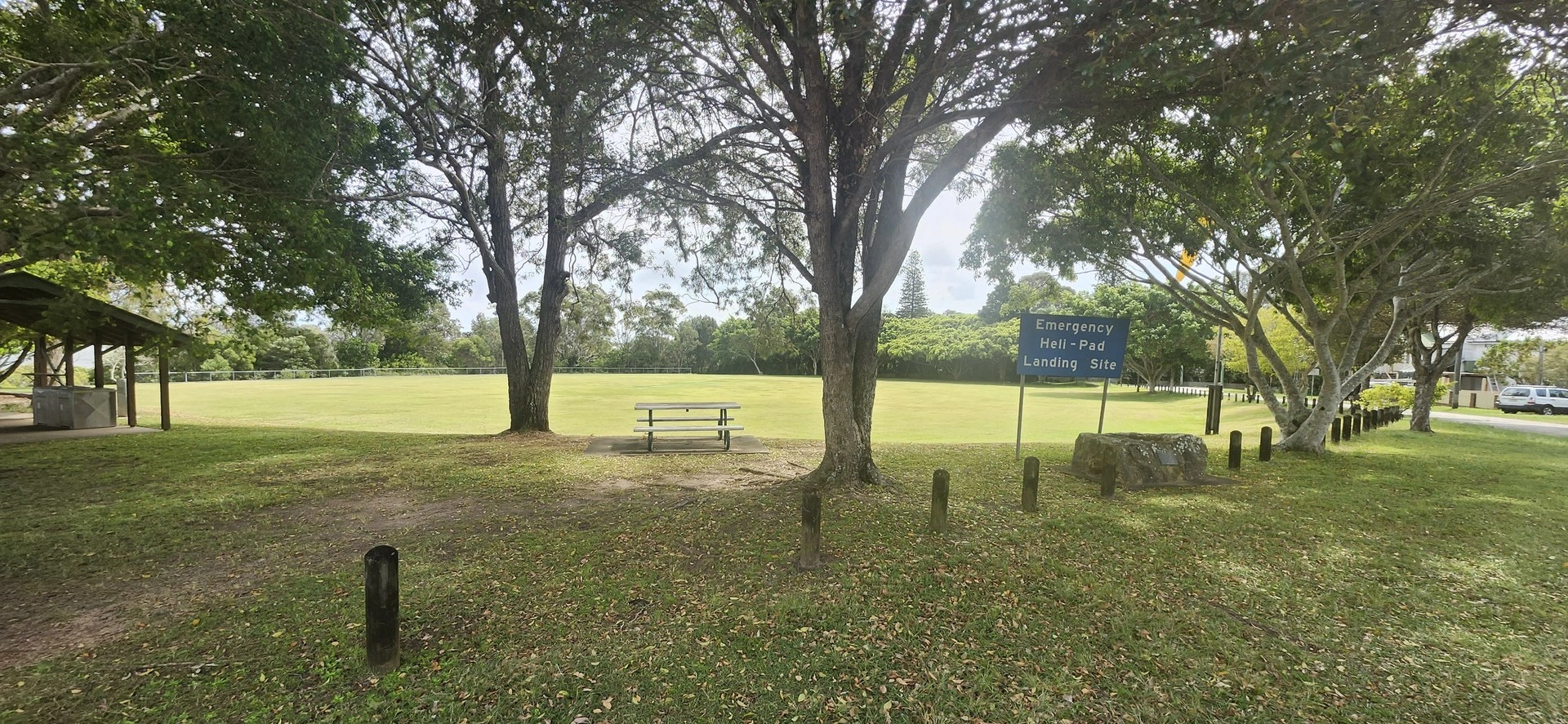
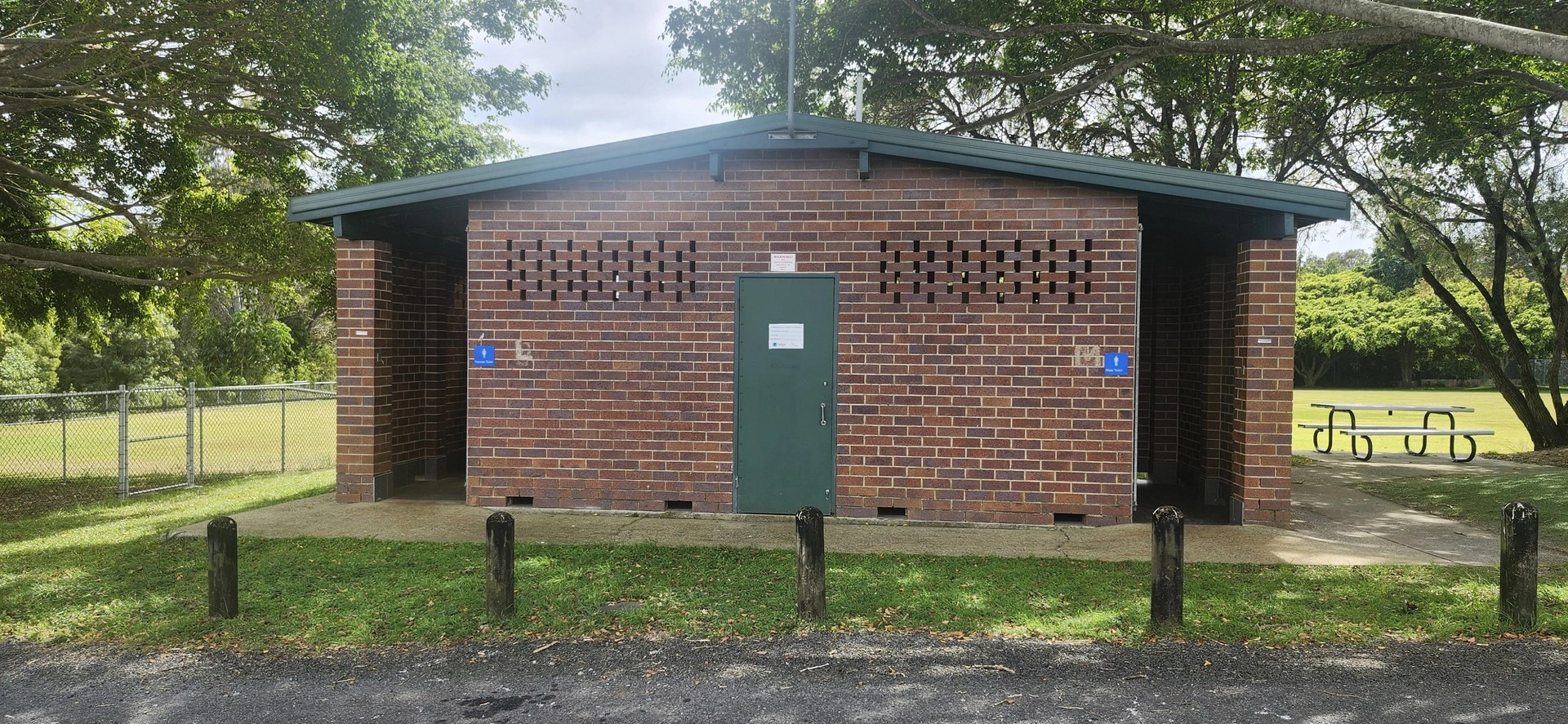
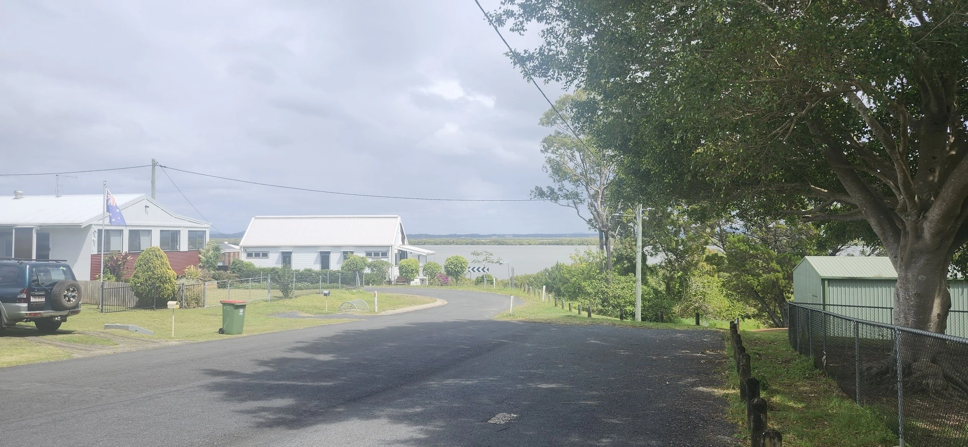
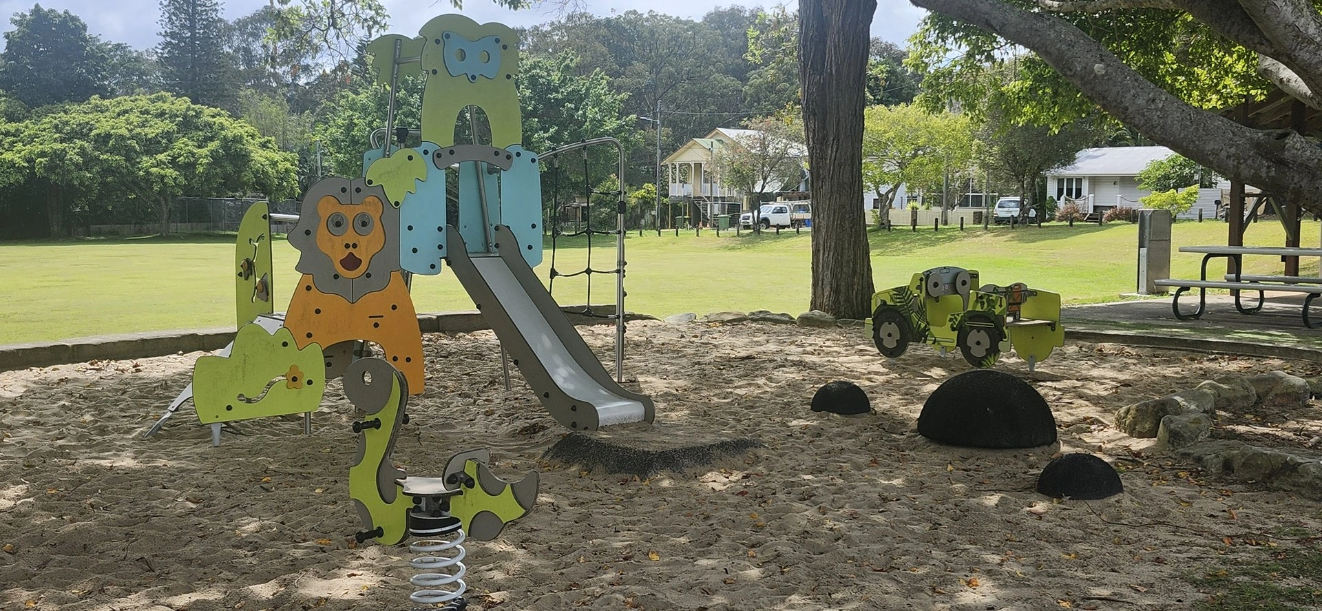
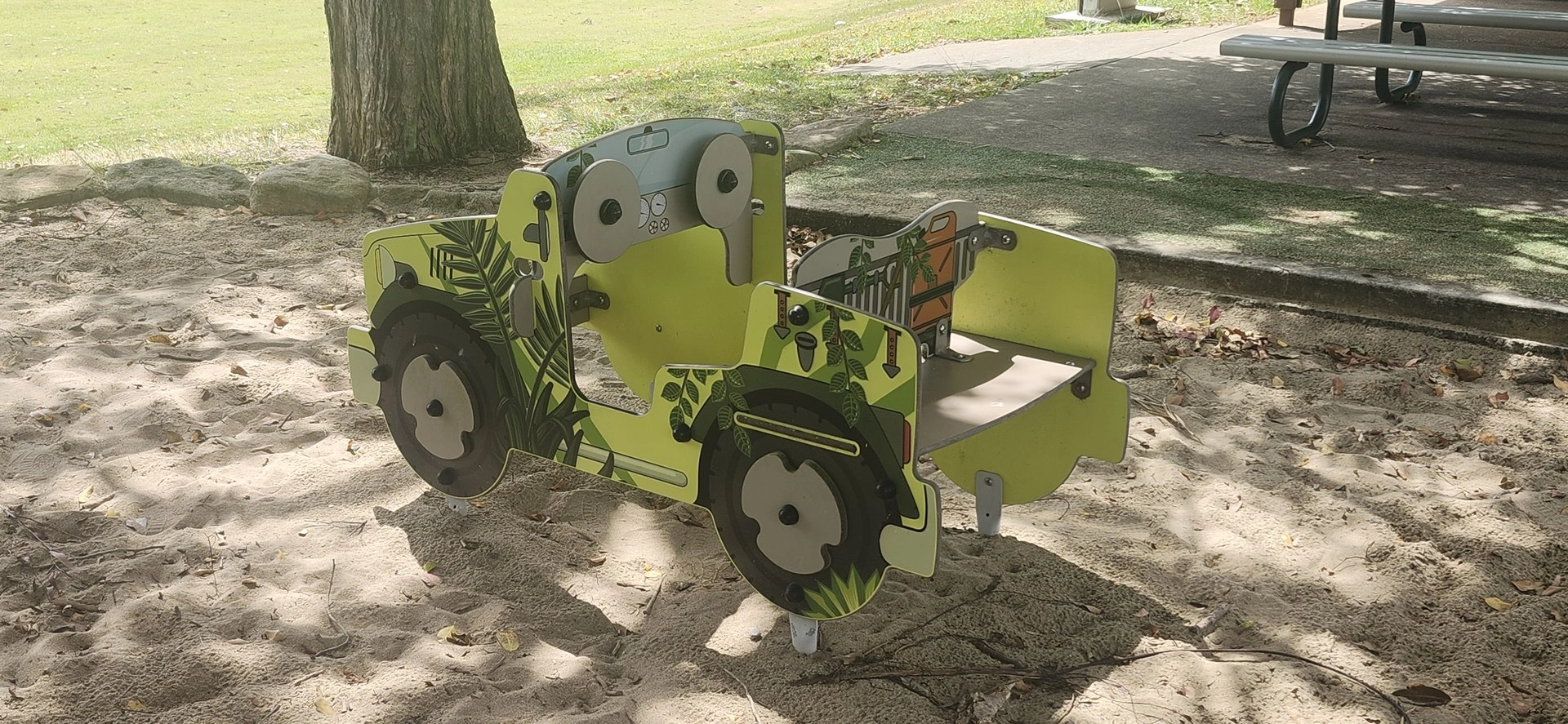
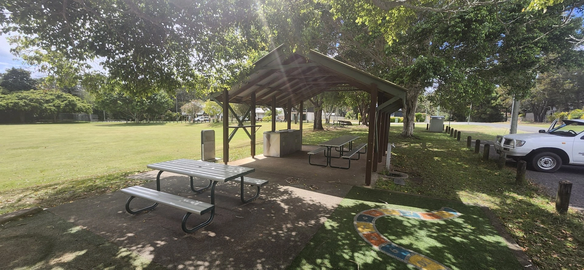
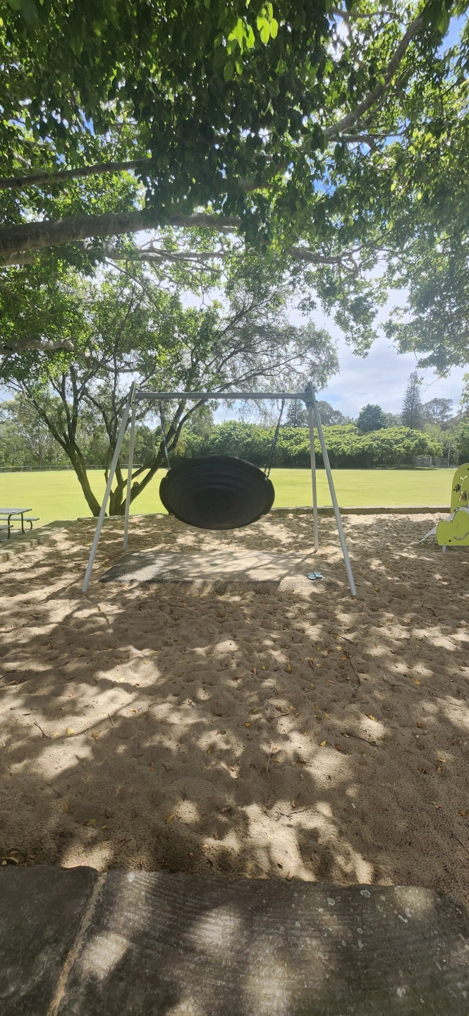
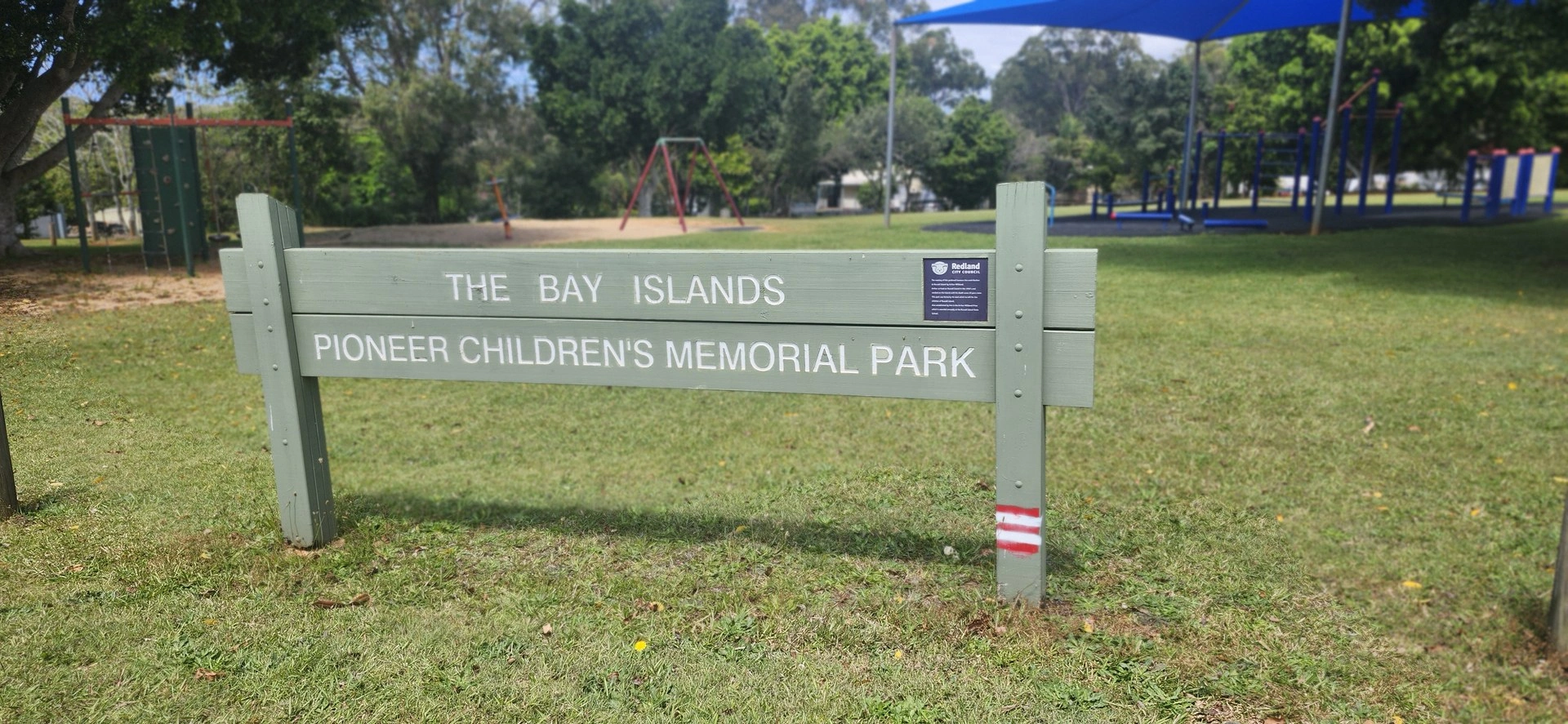
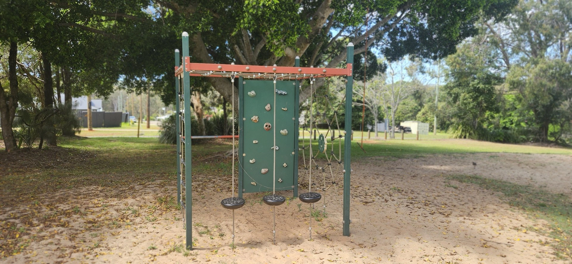
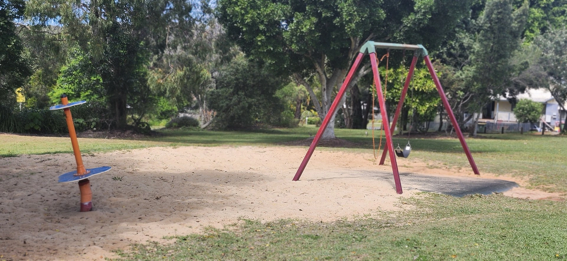
Russell Island Explorer
8.58 km return: 🟡 Moderate
Riding time: Approximately 45–60 minutes riding time
Allow: Around 1½–2 hours with stops
Surface: Mostly sealed local roads, with a mix of sealed and unsealed paths through the Sport & Recreation Park.
Bike: Hybrid, e-bike or suitable adult bicycle
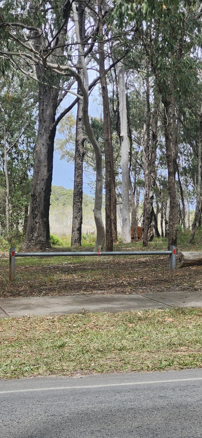
Explore Russell Island beyond the main township, taking in local recreation, community areas and the Whistling Kite Wetlands before returning through the southern side of the town.
Route:
Ferry / town precinct → High Street → Cavendish Street → Union Street → Sport & Recreation Park bike path → Robert Street → High Street → Jackson Road / Jackson Oval → Whistling Kite Wetlands → High Street → Titala Street → Fern Terrace → Guthrie Street → Hawthornden Drive → ferry / town precinct.
Highlights:
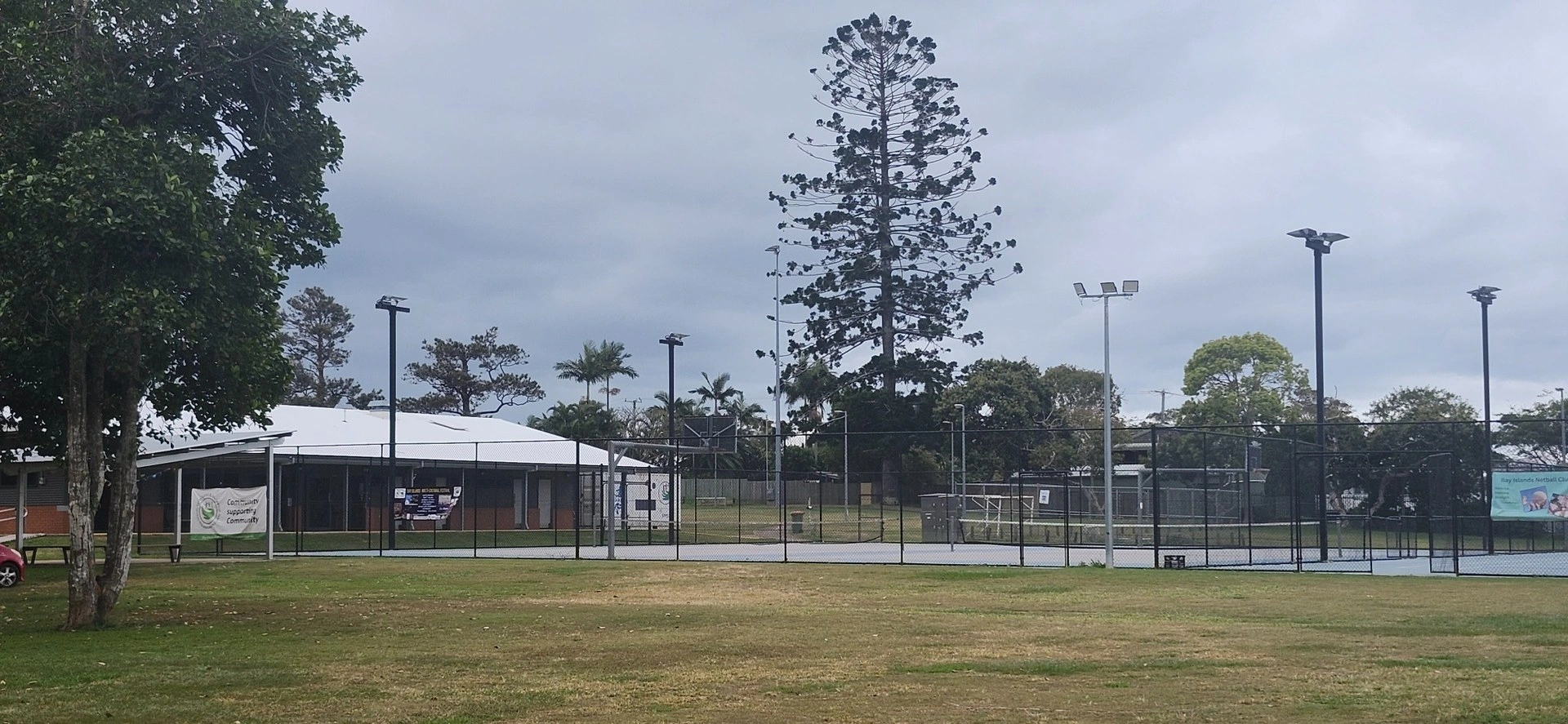
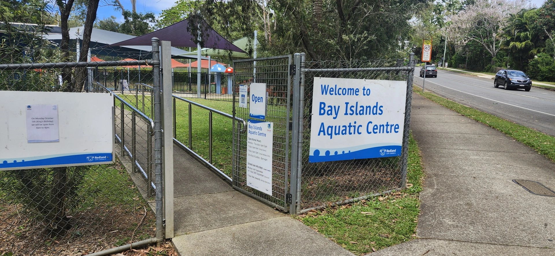
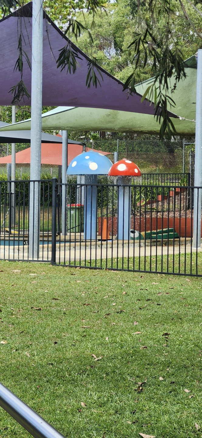
🏊 Bay Islands Aquatic Centre 🎨 RICArts / The Farm 🎾 Russell Island Sport & Recreation Park 🏛️ Southern Moreton Bay Islands Museum 🛝 Jackson Oval Playground 🌿 Whistling Kite Wetlands
Riding note: The ride includes the bike path around the Russell Island Sport & Recreation Park. Some sections within the park are unsealed and may become softer or boggy after rain. The remainder of the route follows sealed local roads.
Route map
Rocky Point Scenic Ride
14.30 km return · Moderate
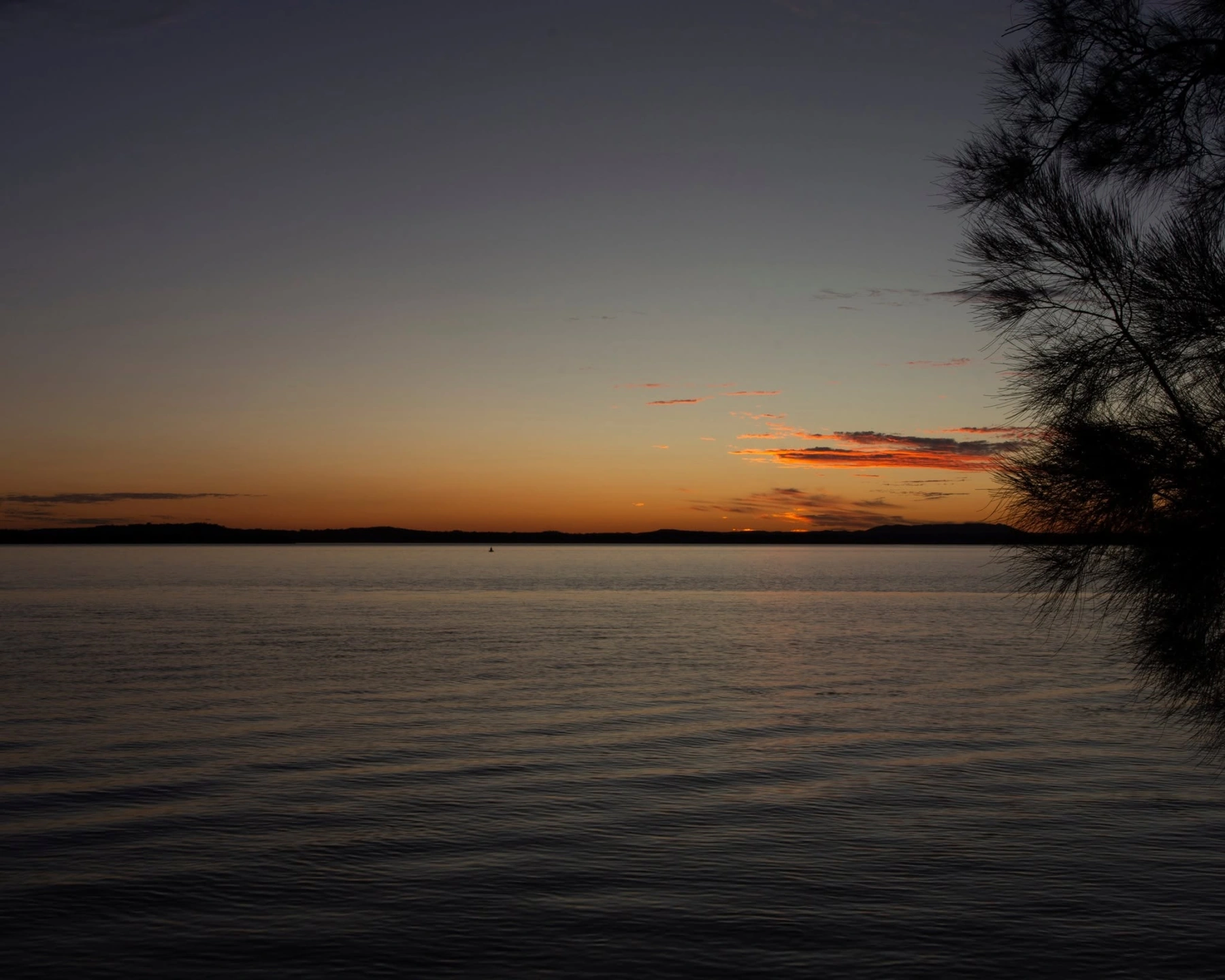
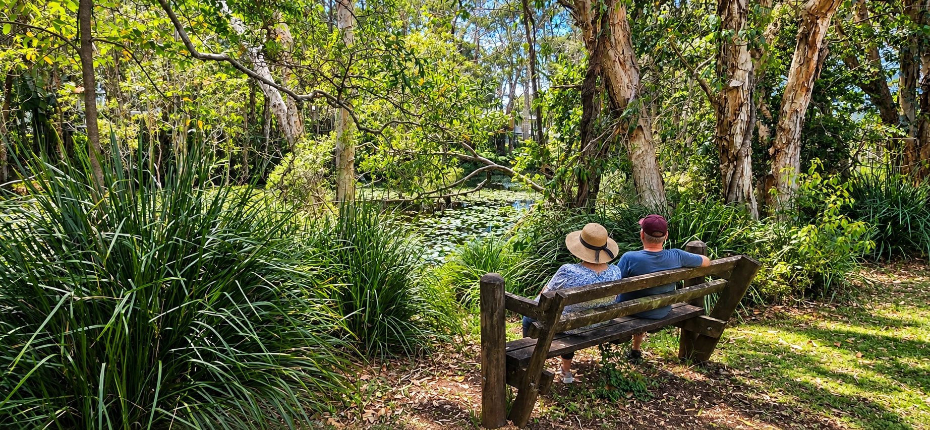
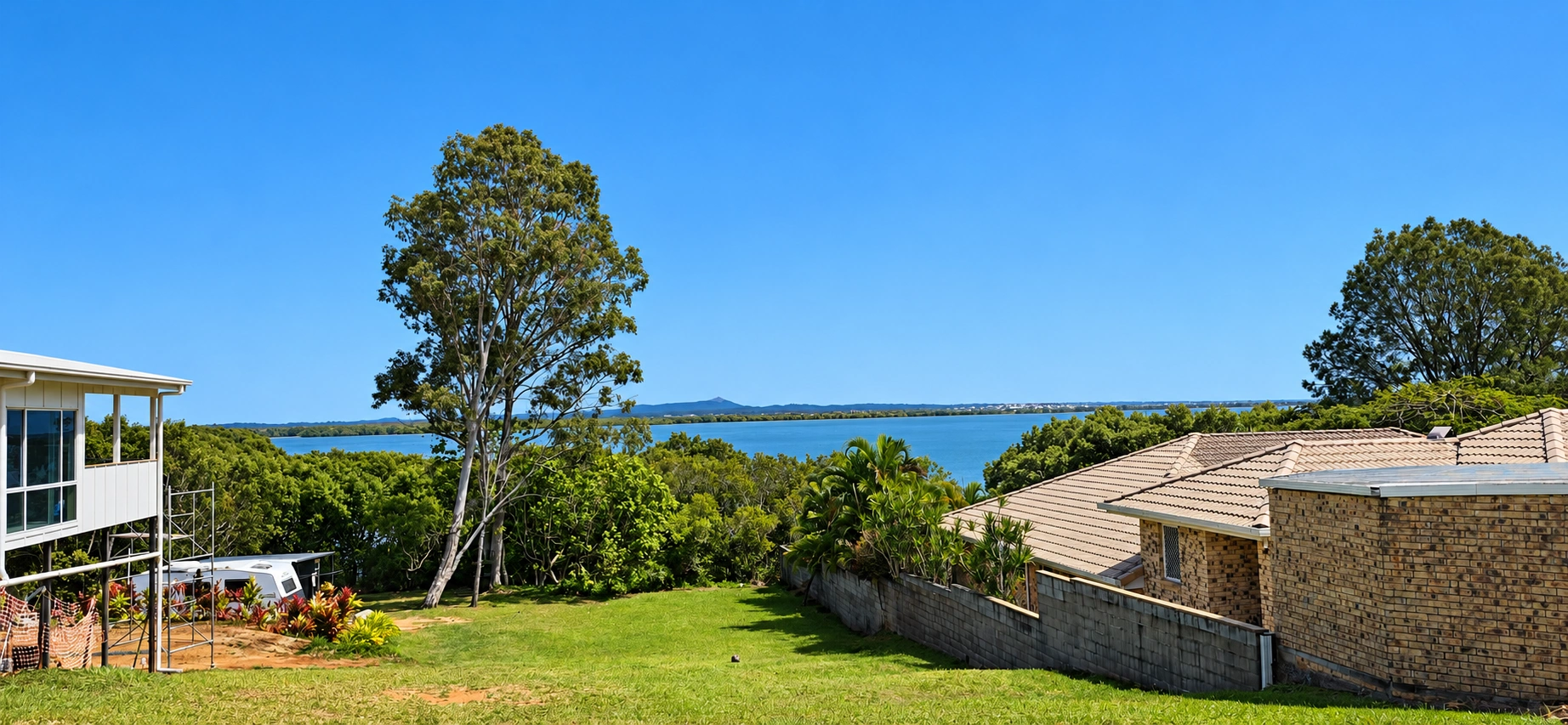
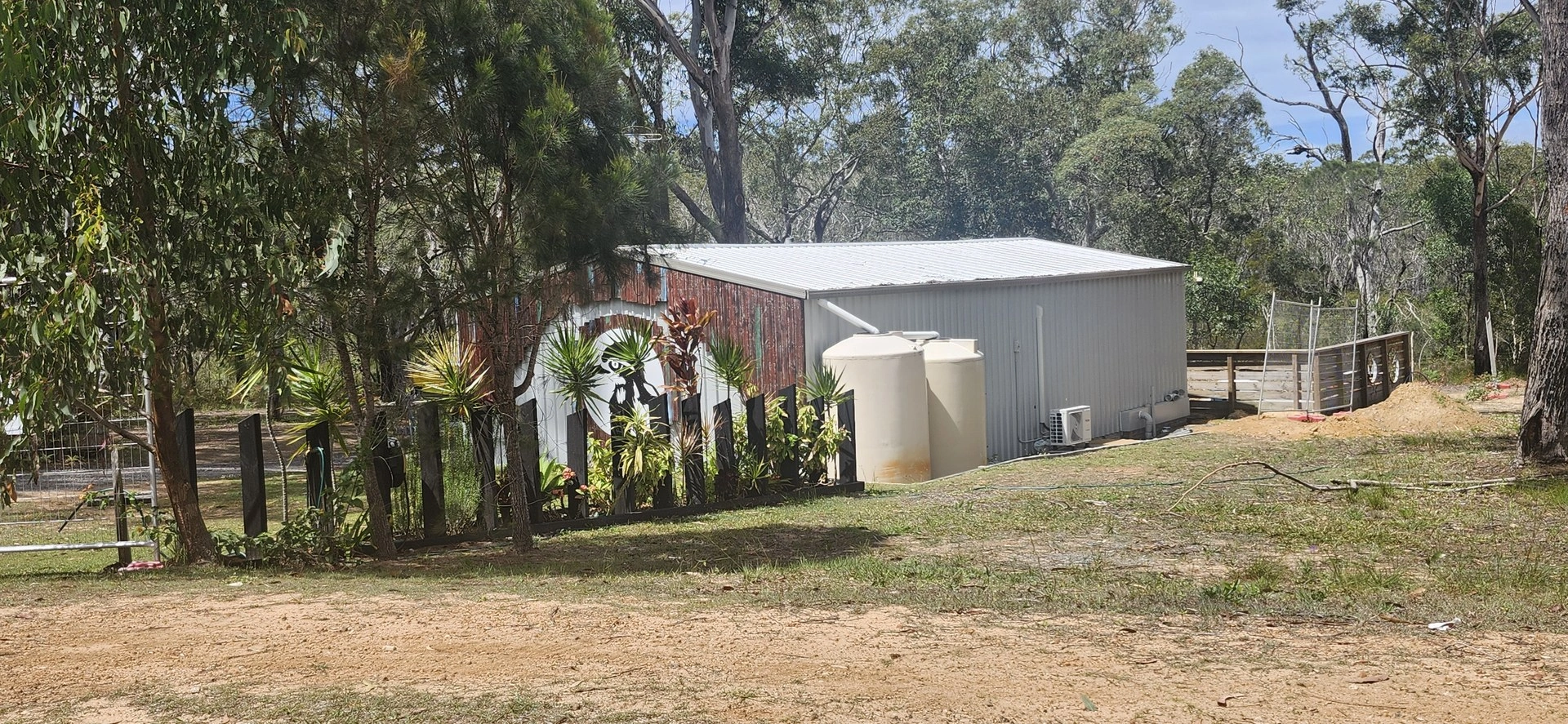
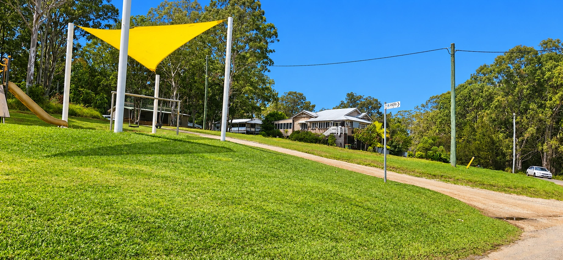
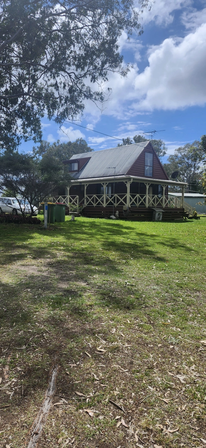
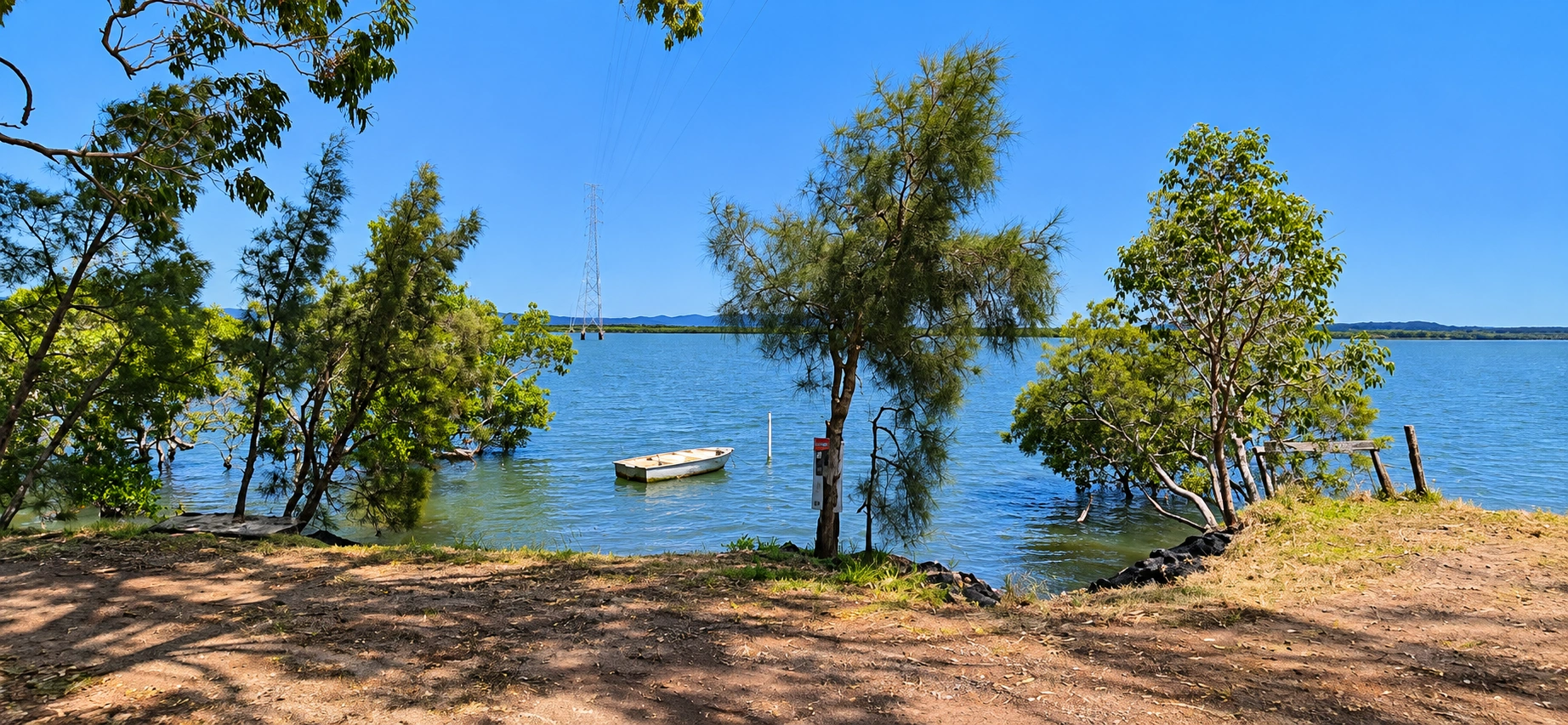
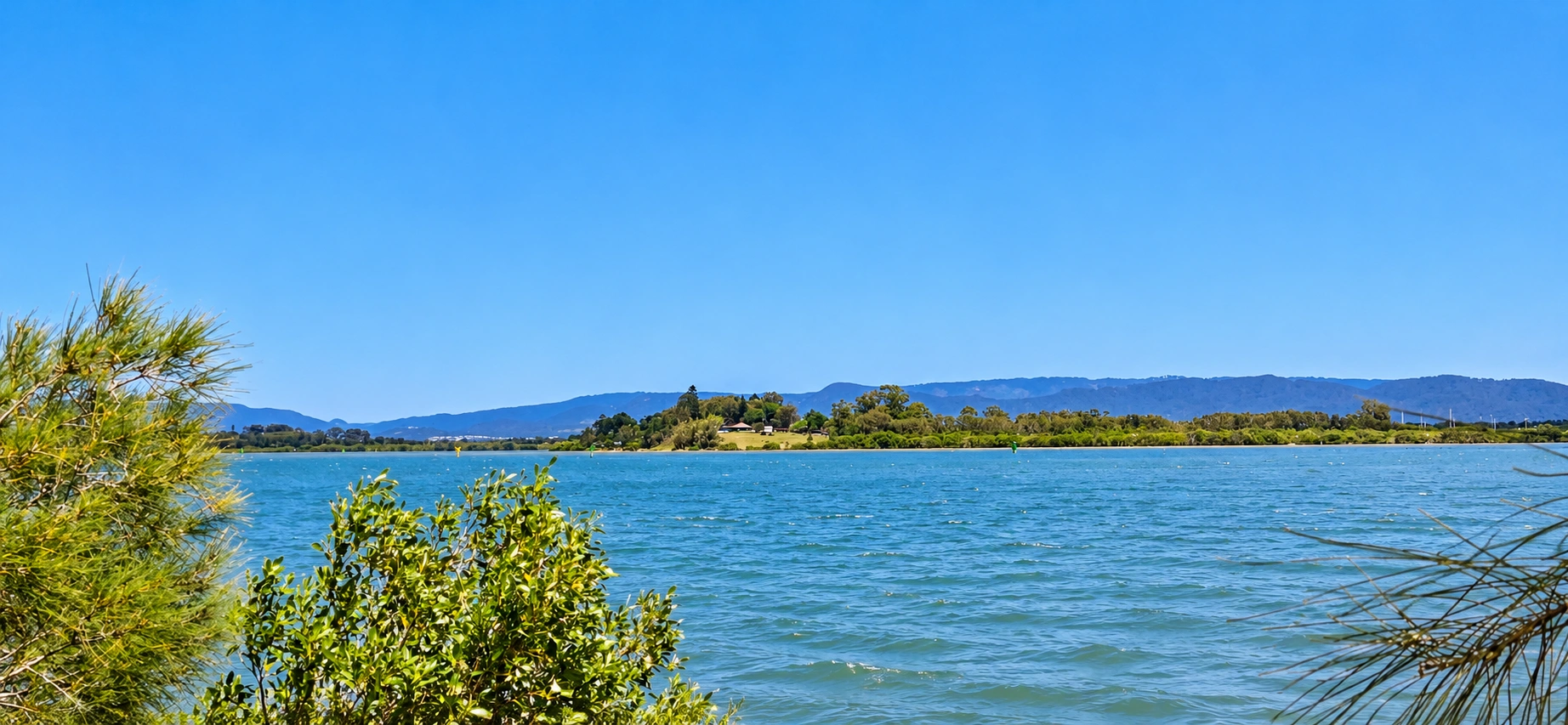
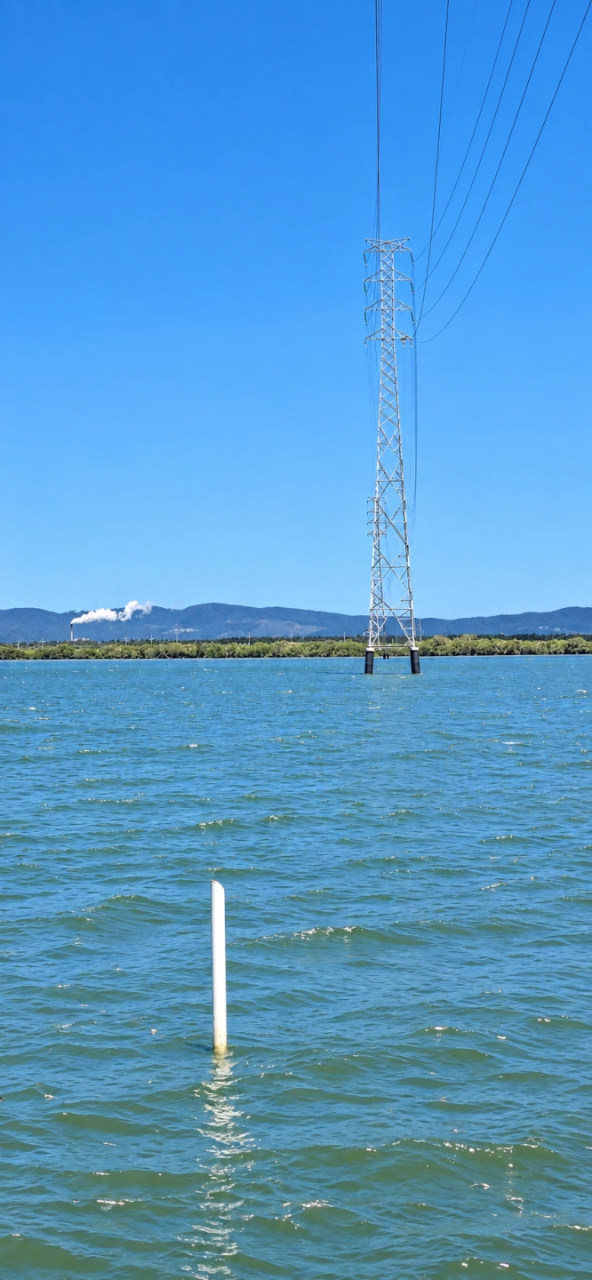
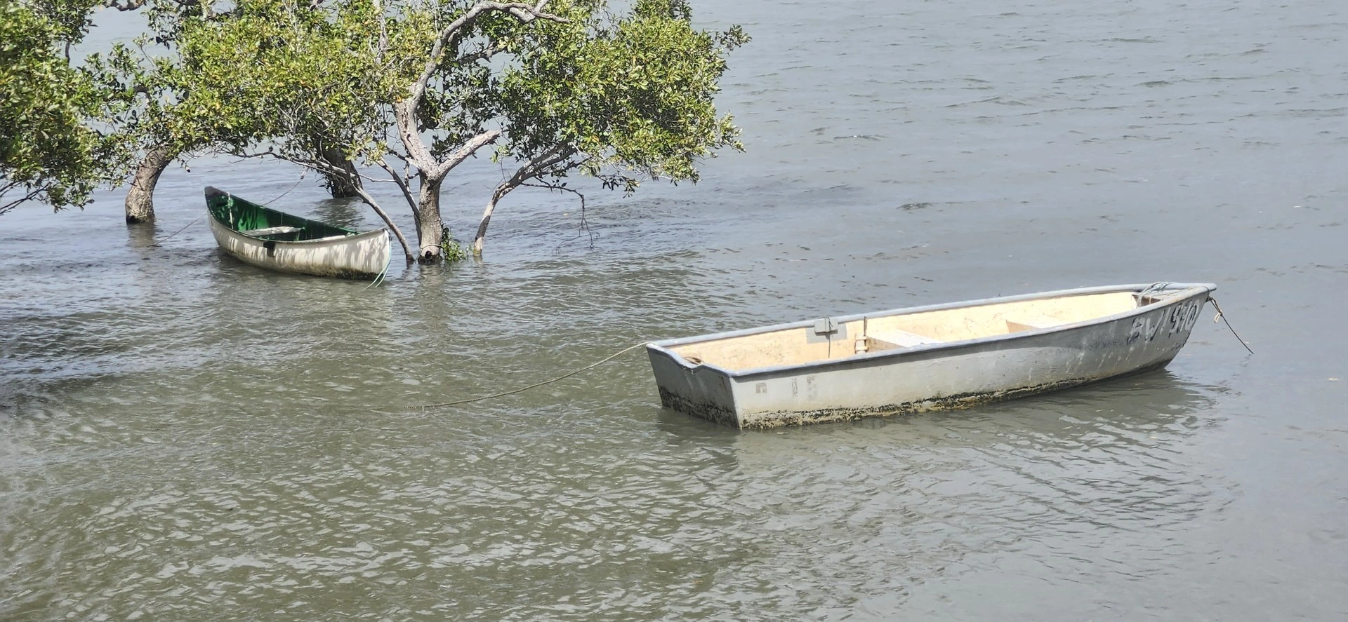
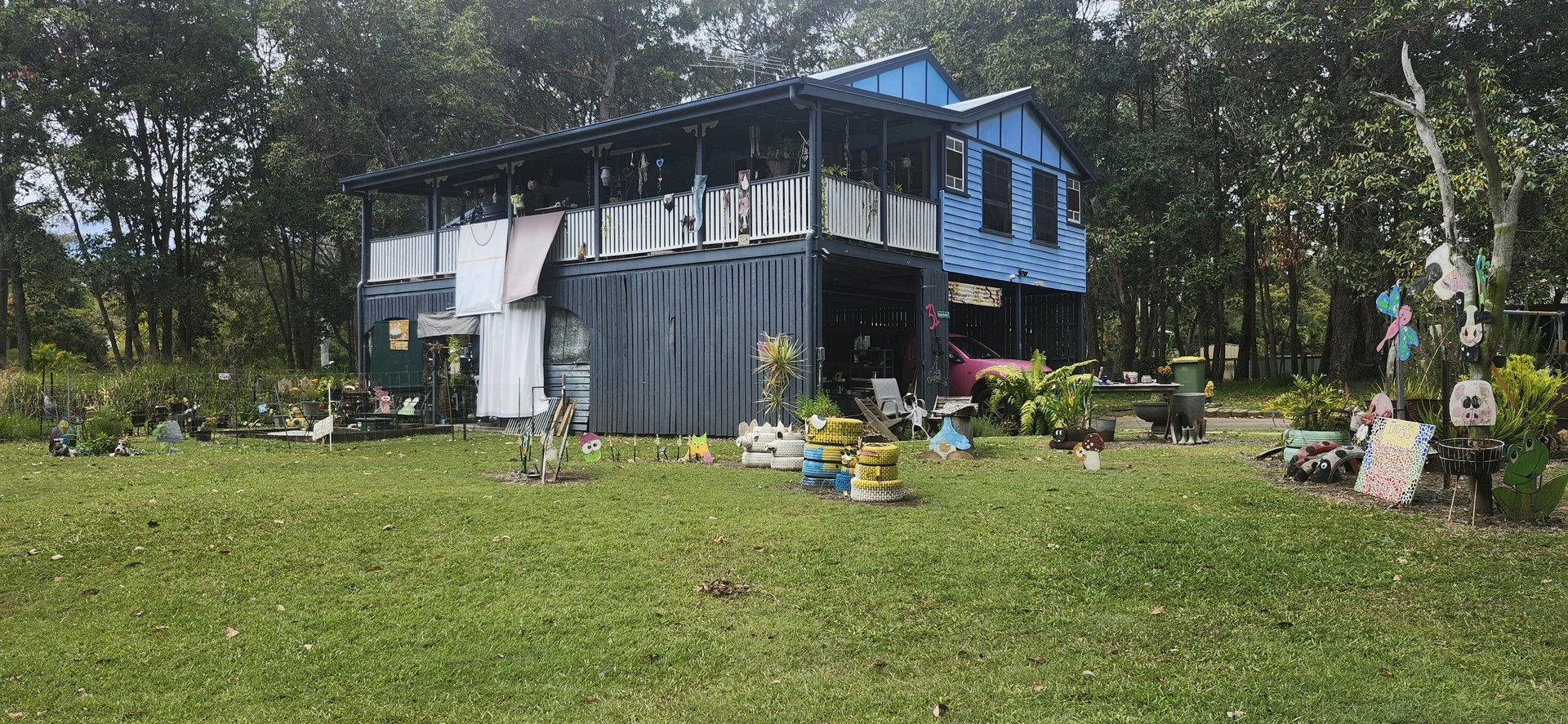
Ride through the southern part of Russell Island to Rocky Point, with wetlands, interesting island homes and coastal views towards the Gold Coast and Yatala. Optional scenic detour available.
Rocky Point Scenic Ride
14.30 km return: 🟡 Moderate
Optional Ranora Avenue Park extension: +2.17 km return
Riding time: Approximately 1–1½ hours riding time
Allow: Around 2–2½ hours with stops
Surface: Main route all sealed roads. Optional extension includes unsealed Hemp Hill Road.
Bike: Hybrid, e-bike or suitable adult bicycle
Ride through the southern part of Russell Island to Rocky Point, following quieter local roads through wetlands and residential areas before reaching the western end of the island.
Route:
Ferry / town precinct → High Street → Minjerriba Road → Centre Road → Stradbroke Road → Yara Street → Rocky Point → return via the same route, with an optional scenic detour through Kurrajong Road, Palm Beach Road, Ranora Avenue Park and Hemp Hill Road.
Highlights:
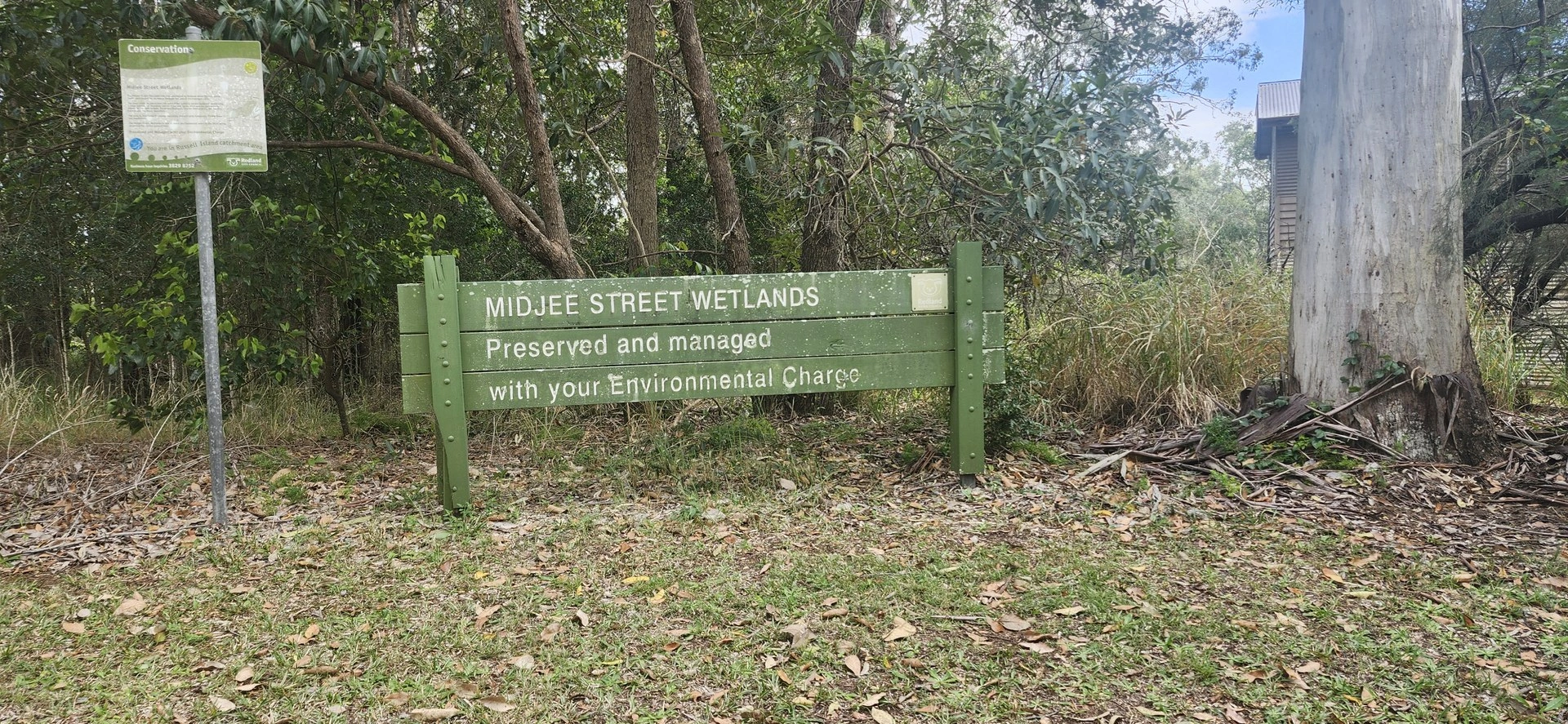
🌿 Water Mouse and Melomys Wetlands 🏡 Interesting island homes along Kurrajong Road and Palm Beach Road 🌊 Rocky Point and views towards the Gold Coast and Yatala 🌳 Renora Avenue Park Playground
Riding notes:
The main Rocky Point route follows sealed local roads. The optional extension includes the unsealed section of Hemp Hill Road, so riders should be prepared for a change in surface. The optional extension adds approximately 2.17 km to the return journey.
Route Map
Sandy Beach Adventure
16.56 km return · Difficult
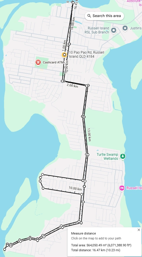
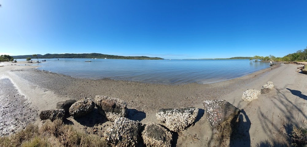
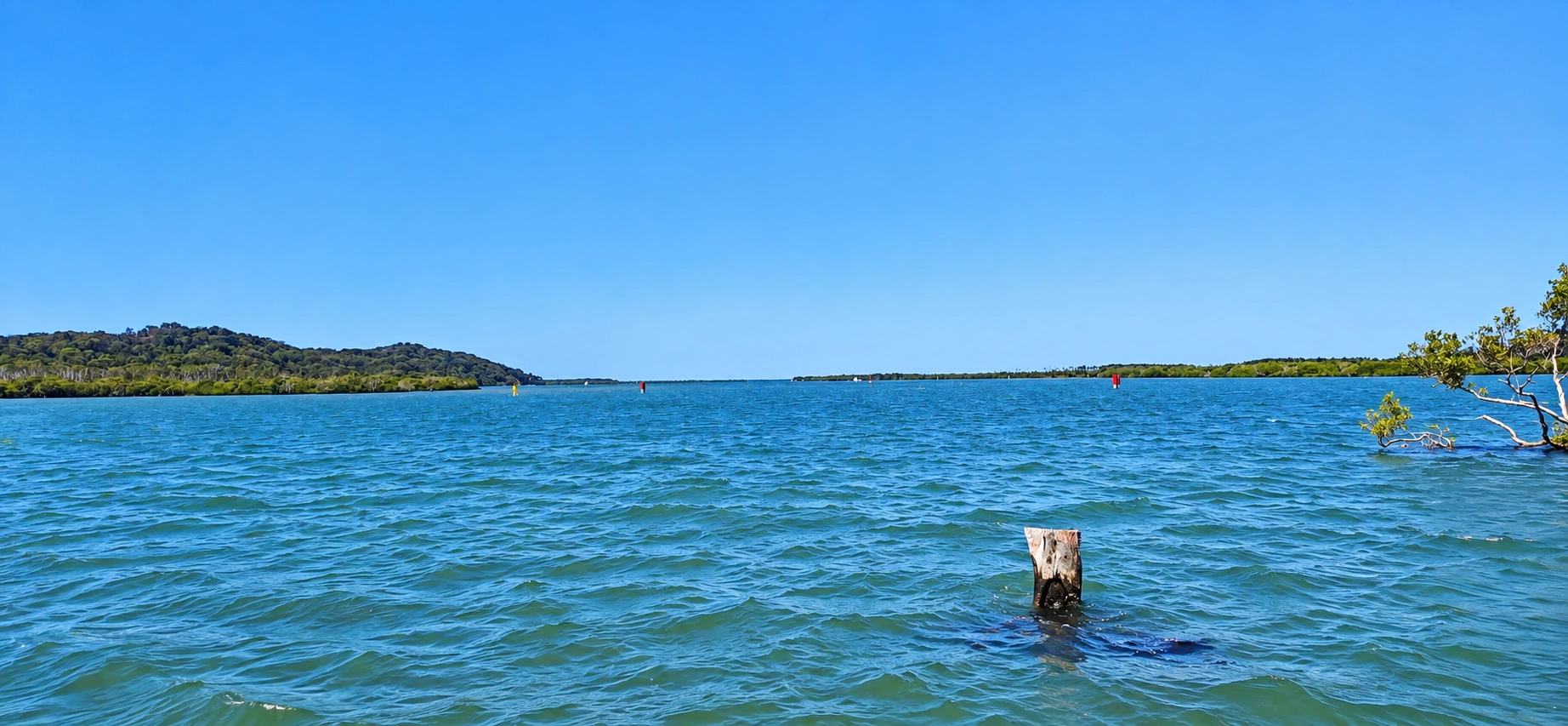
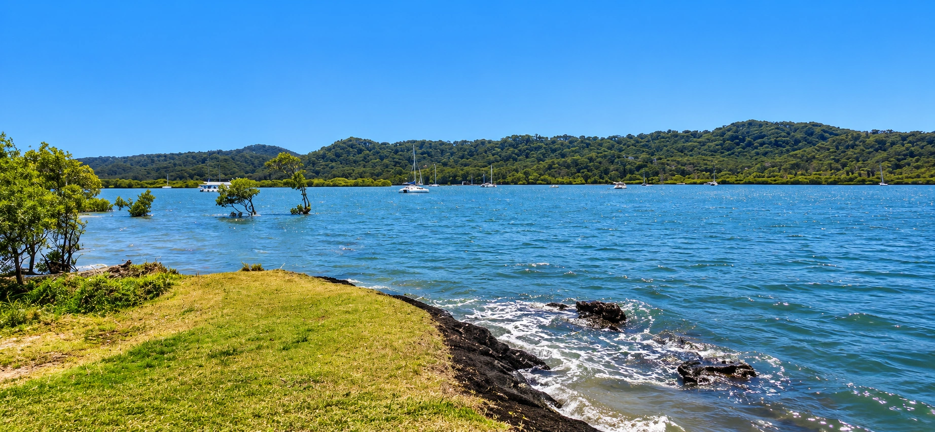
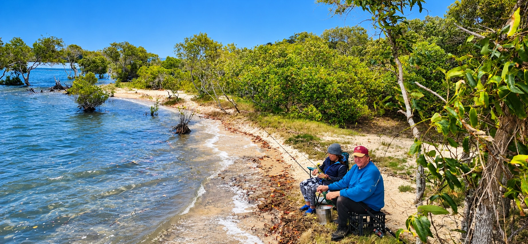
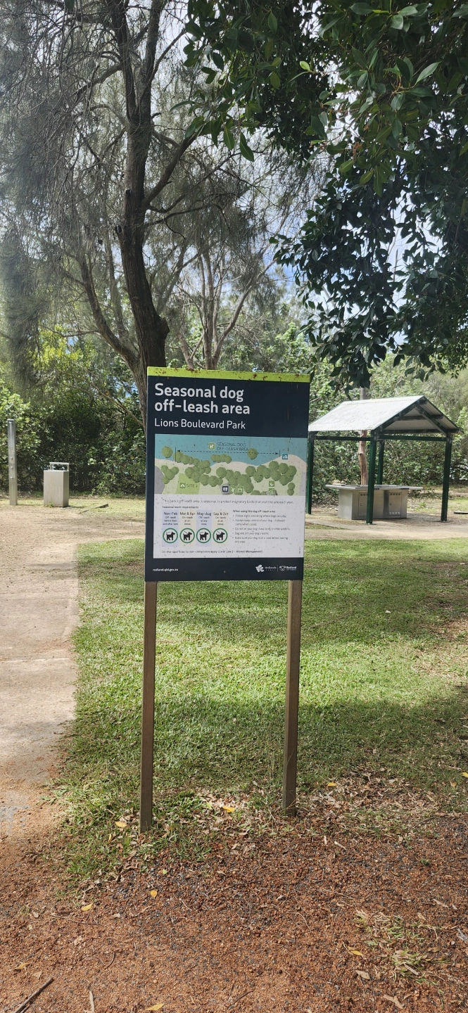
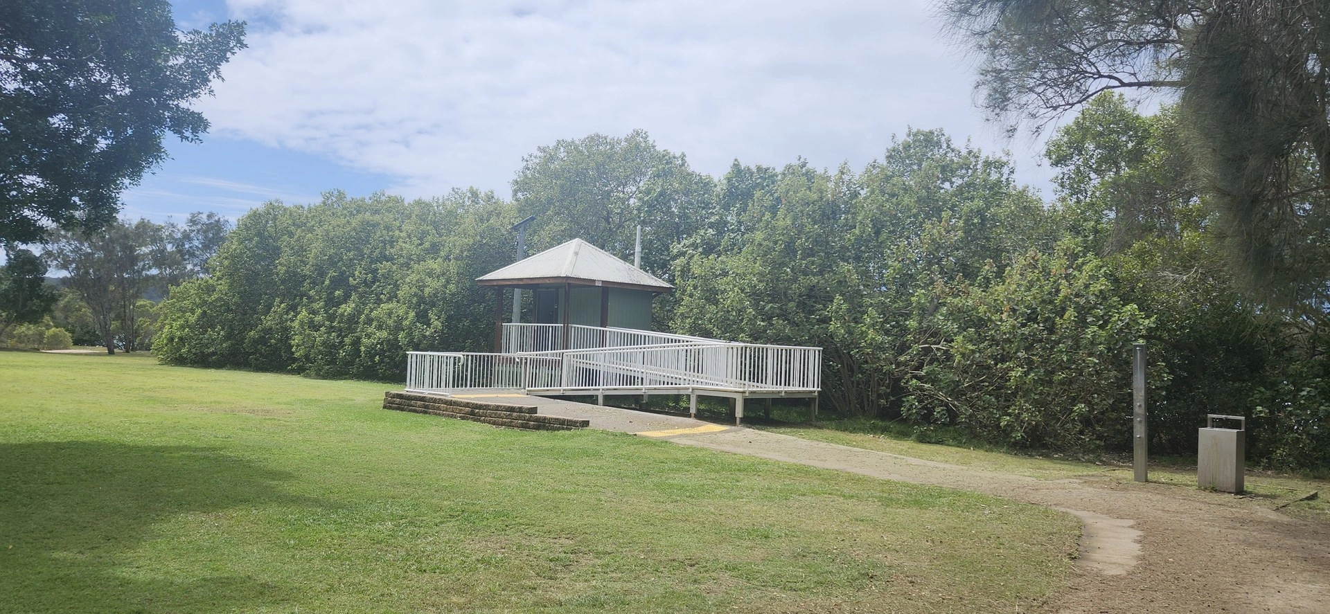
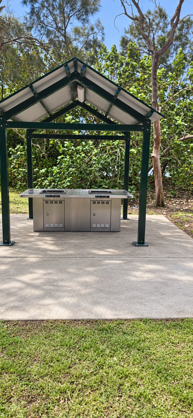
A challenging ride into southern Russell Island, with significant climbs on Crescent Drive and The Boulevard, plus wetlands, island scenery and Sandy Beach. E-bikes can make the climbs considerably easier.
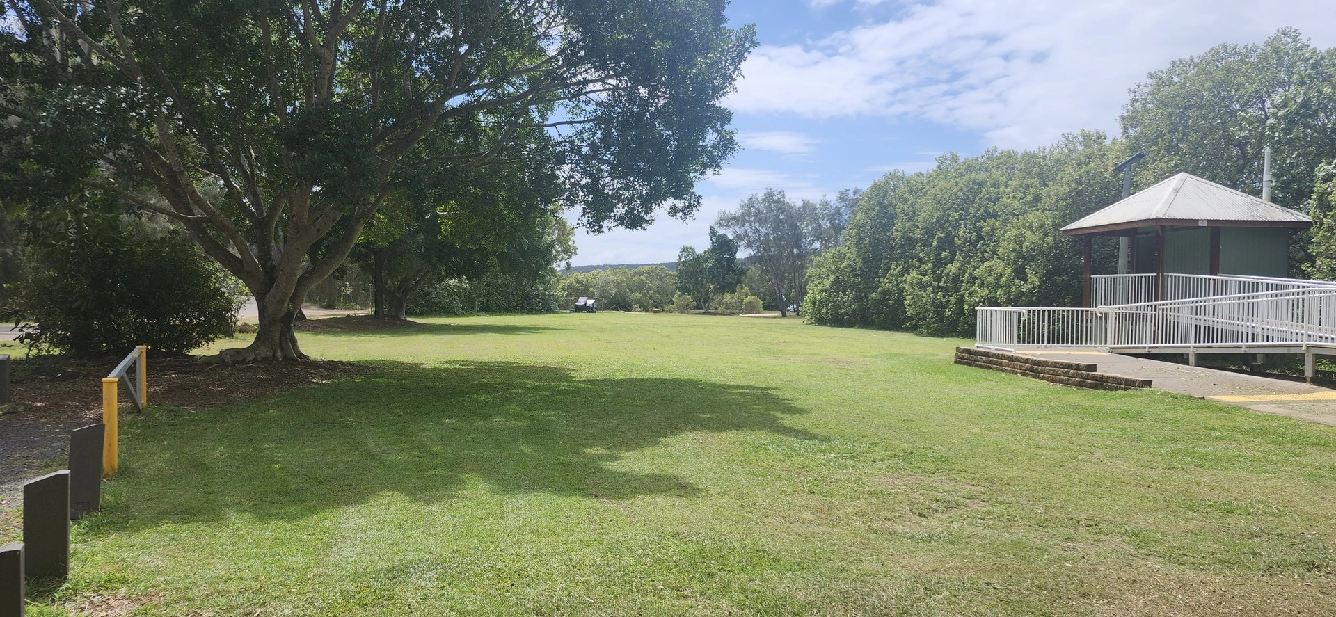
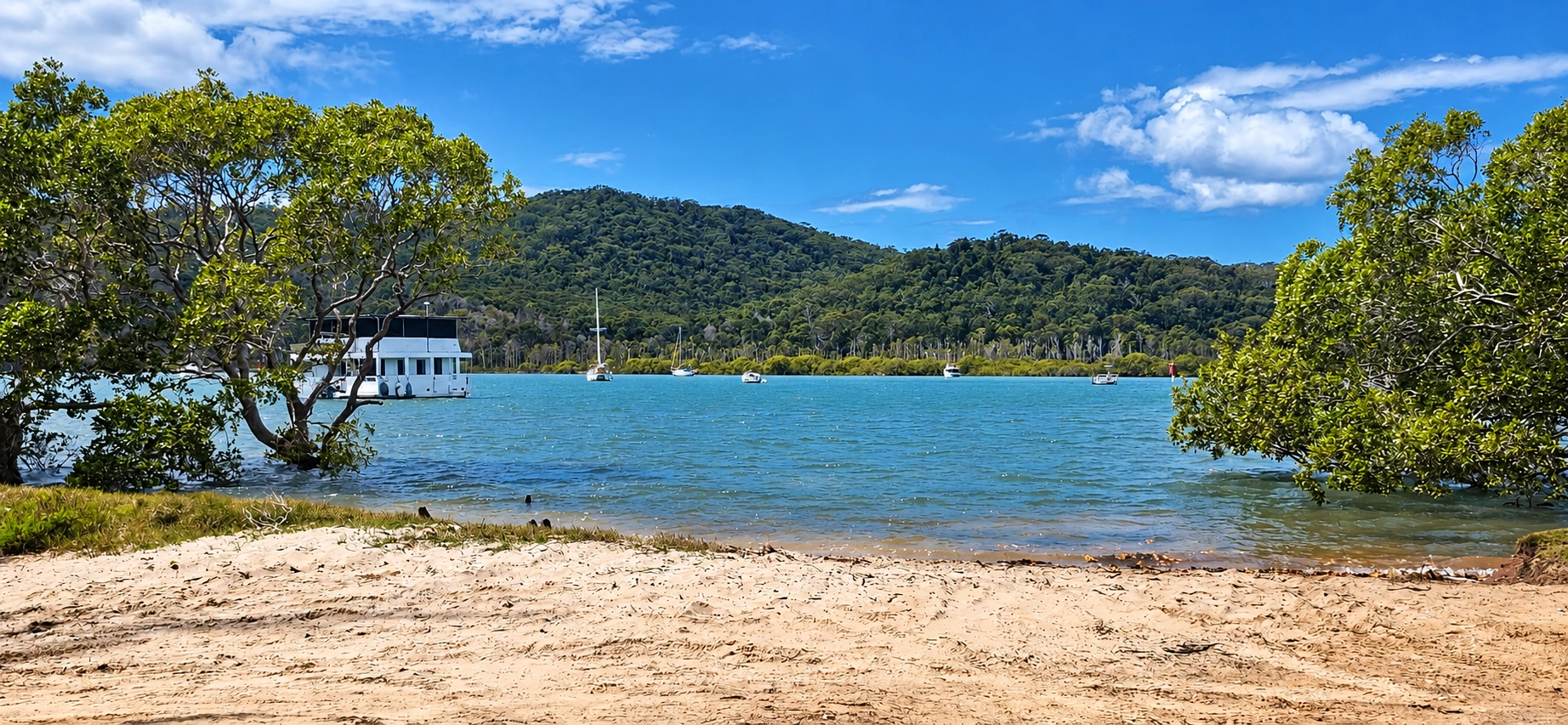
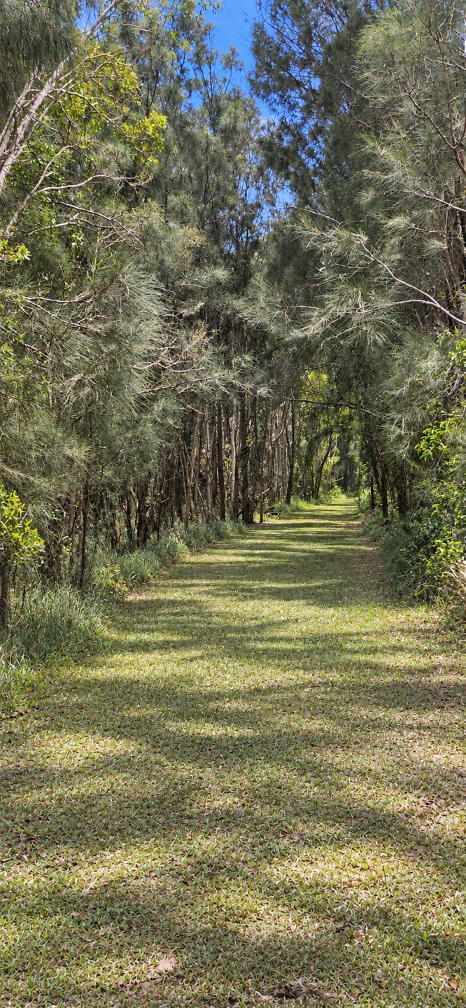
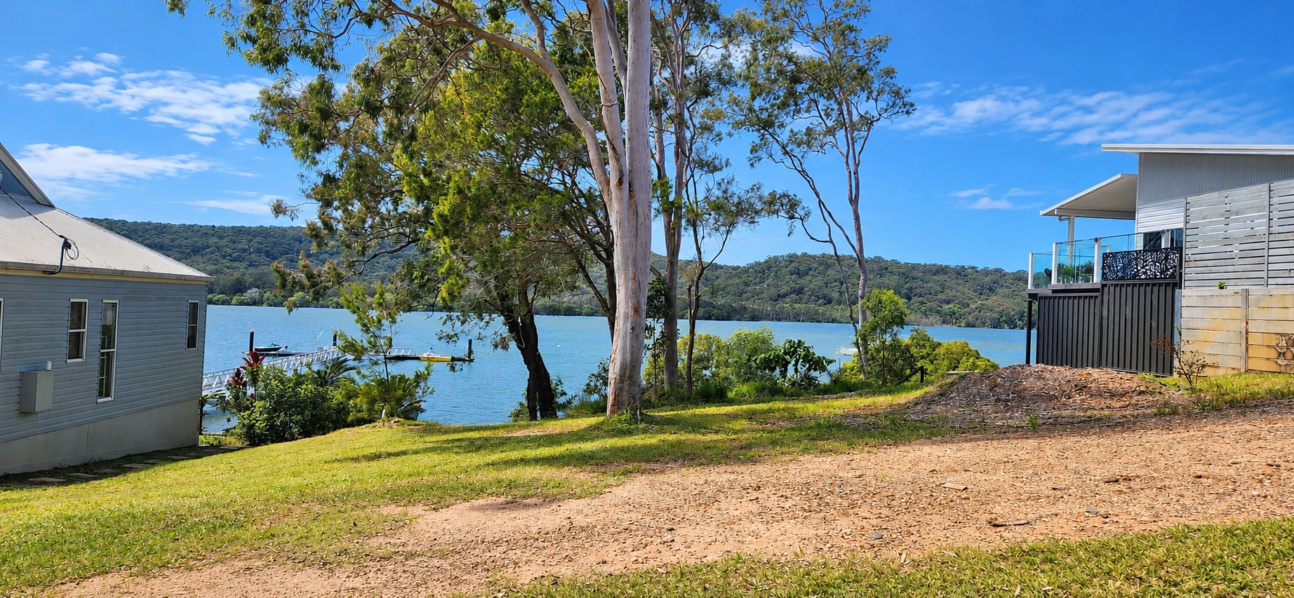
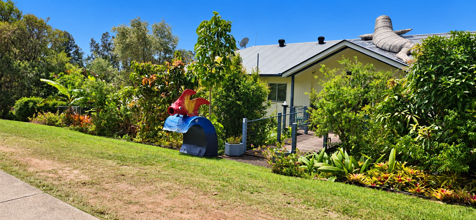
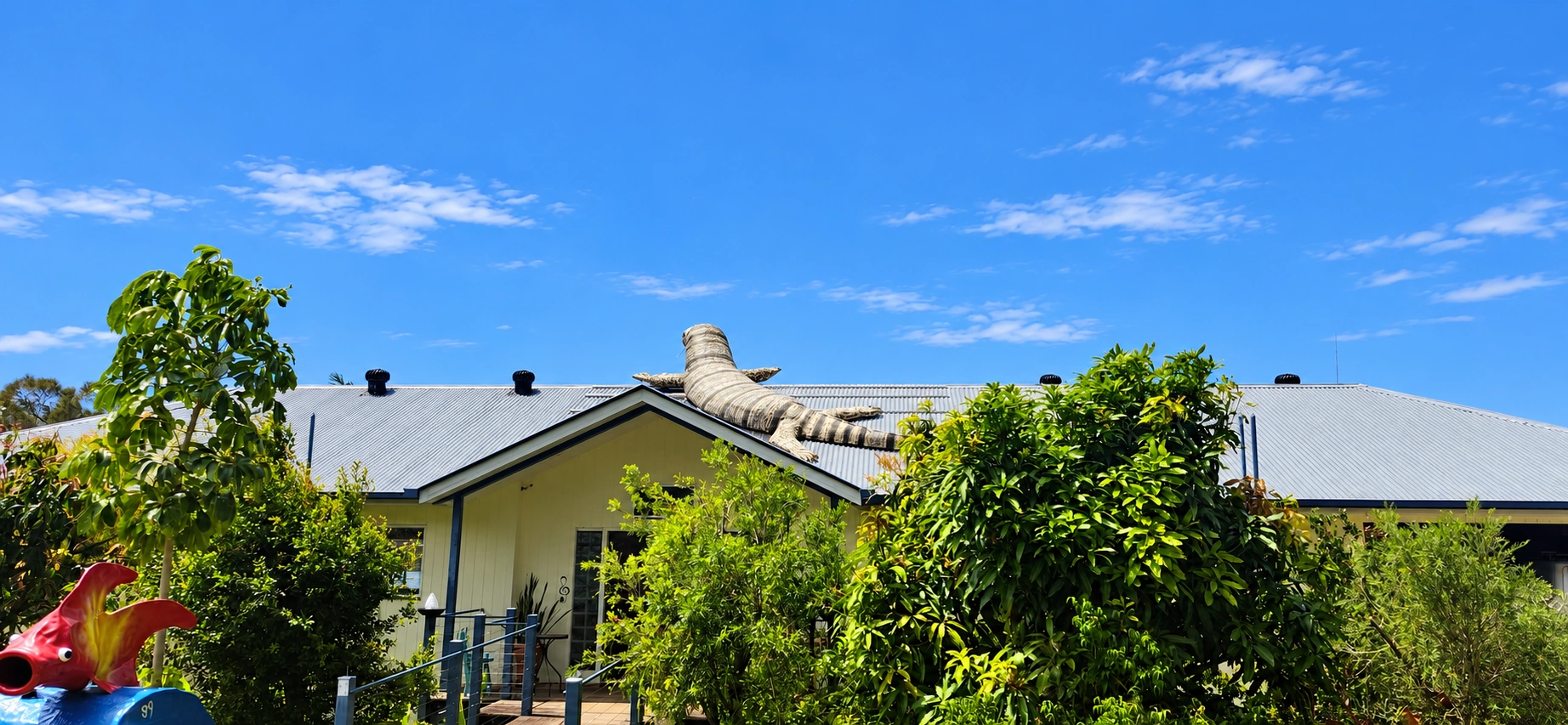
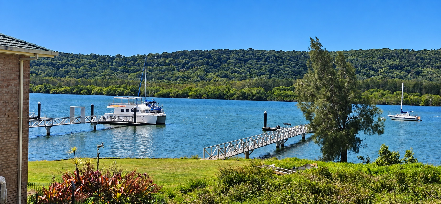
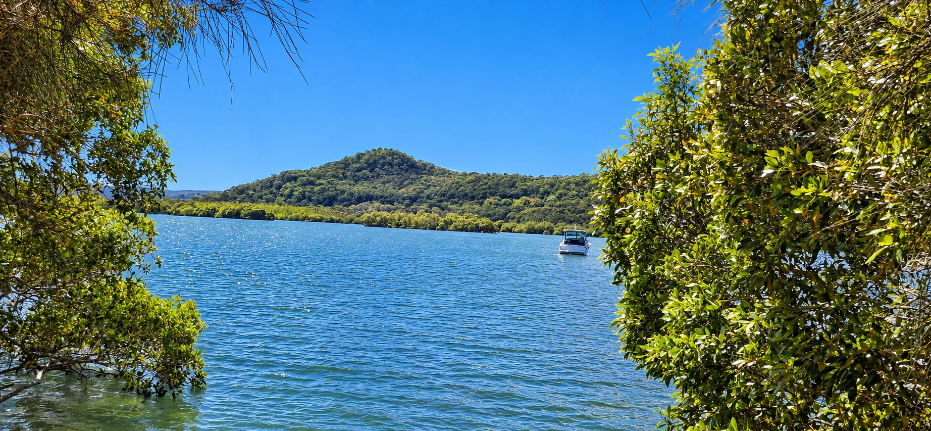
Sandy Beach Adventure
16.56 km return: 🔴 Difficult
Optional Turtle Swamp extension: +1.97 km return
Riding time: Approximately 1½–2 hours riding time
Allow: Around 2½–3½ hours with stops
Surface: All sealed roads
Bike: Suitable for adult bicycles and e-bikes. An e-bike can make the climbs considerably easier
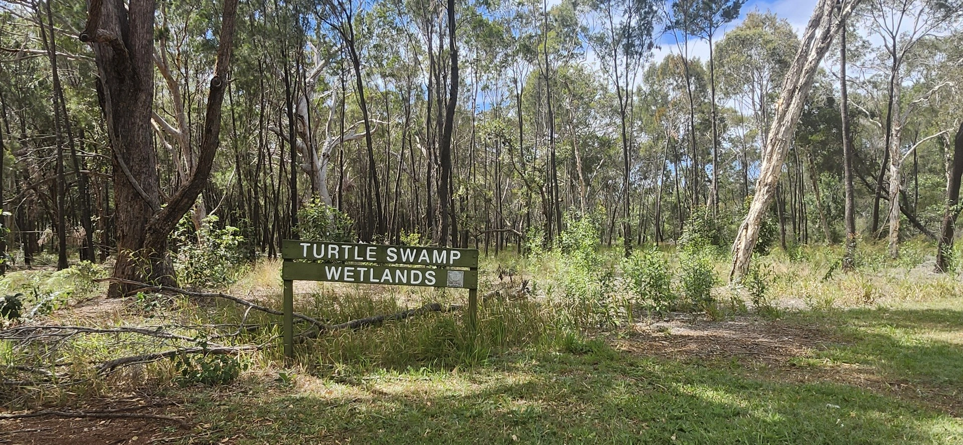
Follow the southern roads of Russell Island to Sandy Beach, with an optional extension to Turtle Swamp Wetlands. This longer ride takes you through quieter parts of the island, with several hills along the way.
Route:
Ferry / town precinct → High Street → Minjerriba Road → Centre Road → Glendale Road → Crescent Drive → Paradise Road → The Boulevard → Sandy Beach Recreation Reserve → turn around
Return via The Boulevard → Paradise Road → Crescent Drive → Glendale Road → Centre Road → High Street → ferry / town precinct.
Optional Turtle Swamp extension:
From Centre Road → Hume Street → Wahine Drive → Turtle Swamp Wetlands → turn around
Return to Barcelona Terrace → right turn and steep climb for approximately 200 m → continue to Centre Road → right onto Centre Road → High Street → ferry / town precinct.
Highlights:
🌊 Sandy Beach Recreation Reserve 🌿 Turtle Swamp Wetlands 🏝️ Southern Russell Island scenery
Riding notes:
This is a physically demanding ride with several significant climbs, particularly on Crescent Drive and The Boulevard. There is also a hard climb of approximately 200 metres from Barcelona Terrace back to Centre Road.
Riders should be comfortable cycling hills and allow plenty of time for the return journey. An e-bike can provide useful assistance on the steeper sections.
Route Map
Full route including optional Turtle Swamp extension